Kealia Trail From Another Perspective

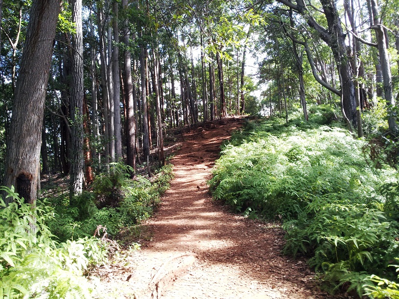
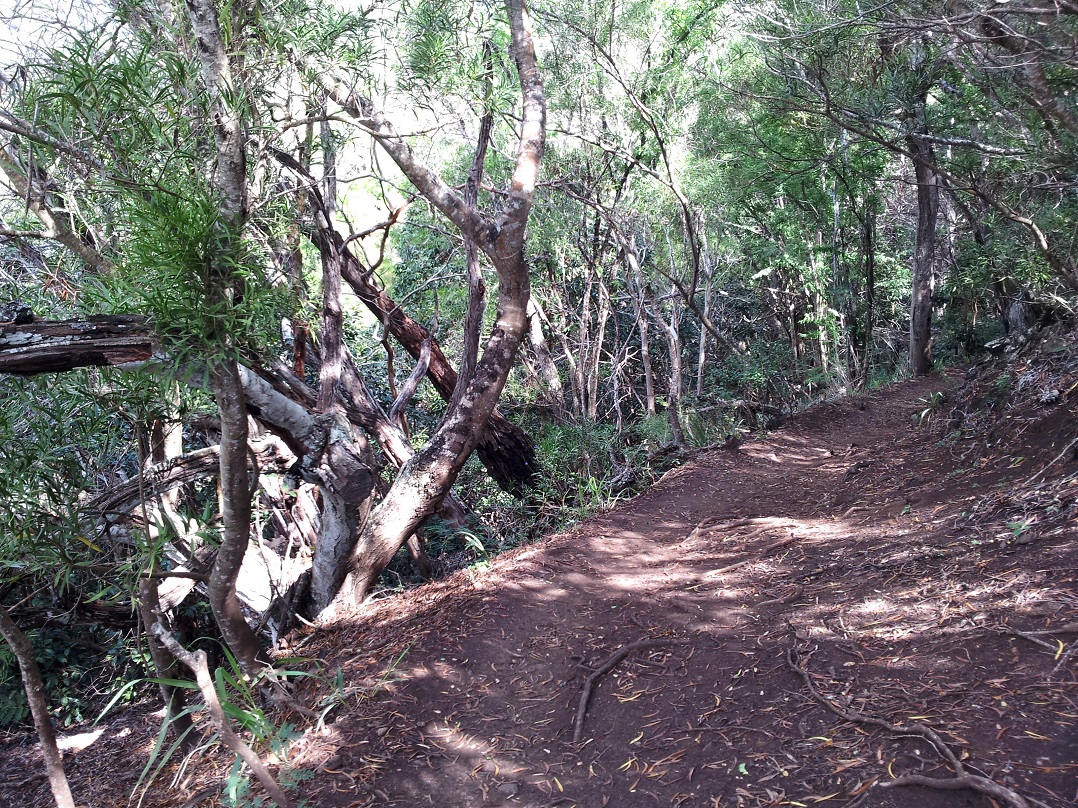
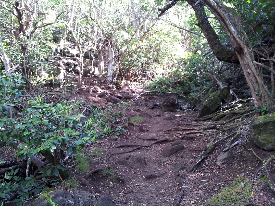
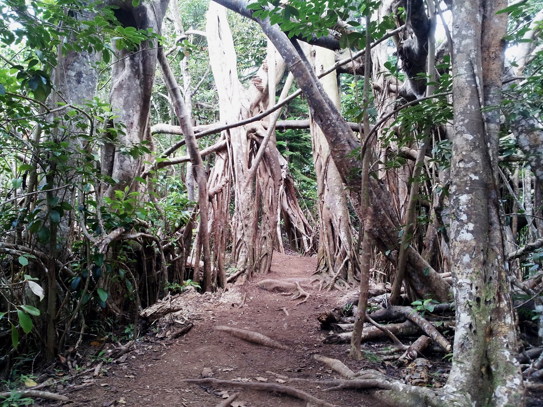
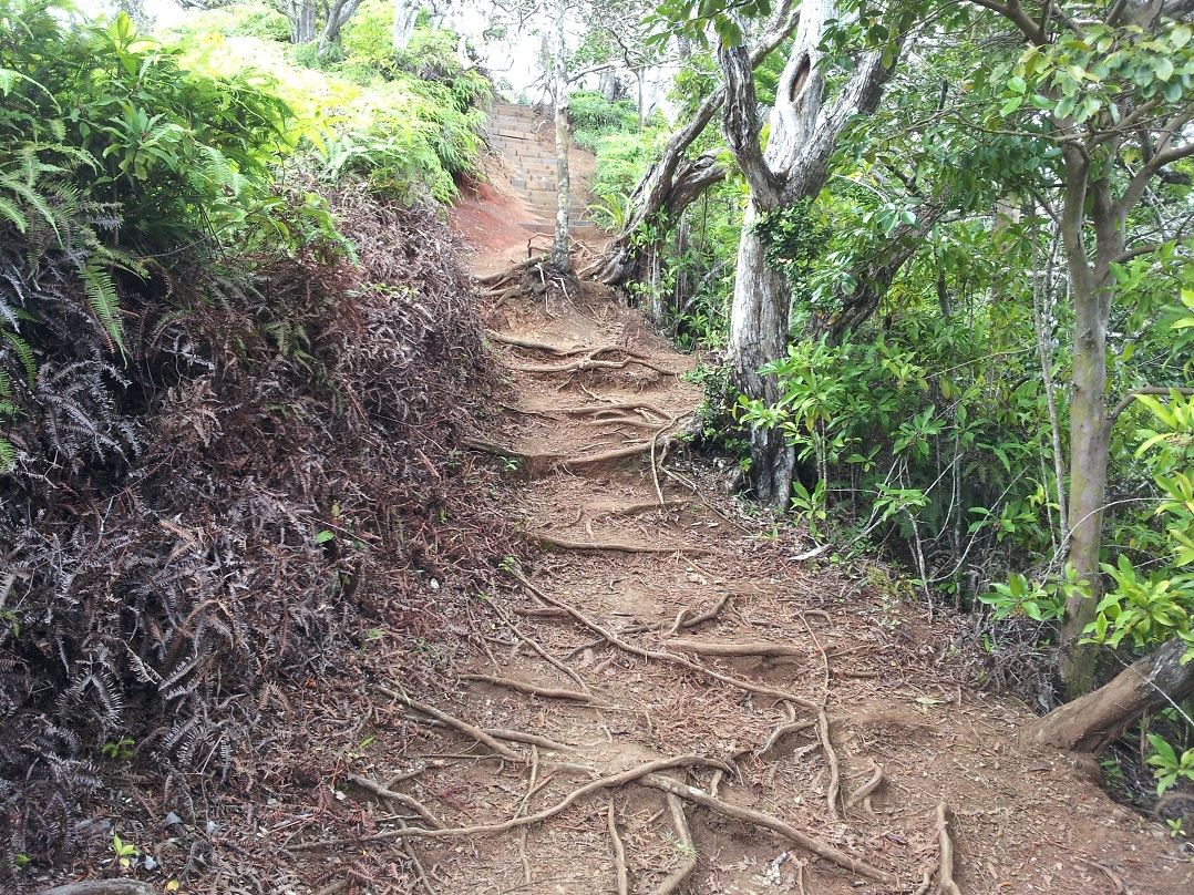
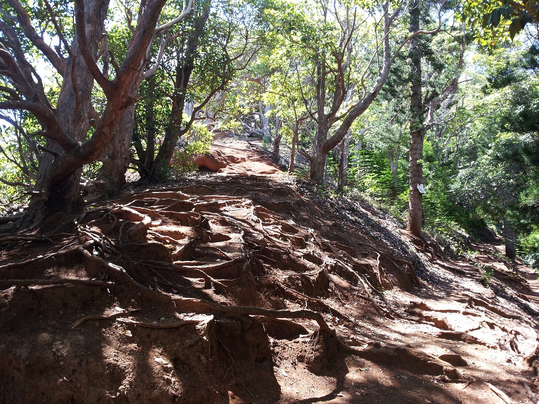
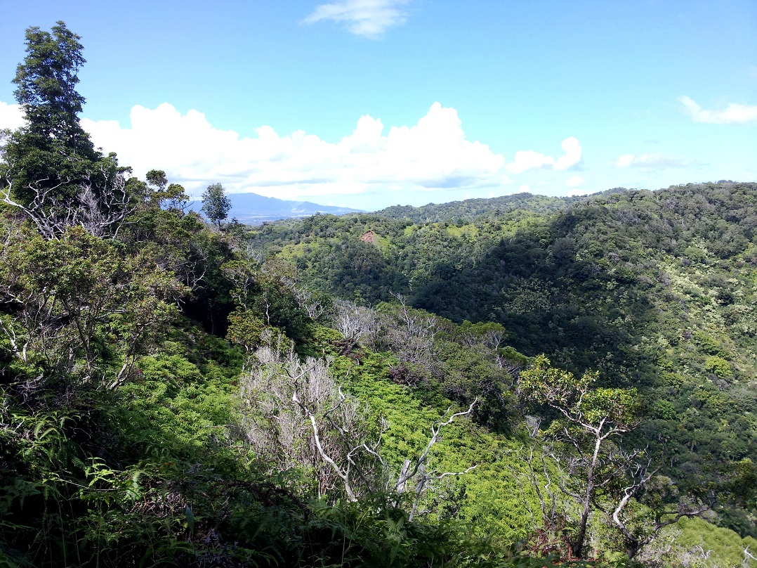
The first hike I blogged about on this trip was to Kealia Trail. I explained that it was a hike and not a walk, but now I am revising that statement. After some of the hikes! we’ve done since, I’m renaming it a waike, or a hialk or maybe just an off-road walk. Anyway, as far as hikes go it is pretty easy and we’ve done it several times on the days we haven’t done a real hike. Trail

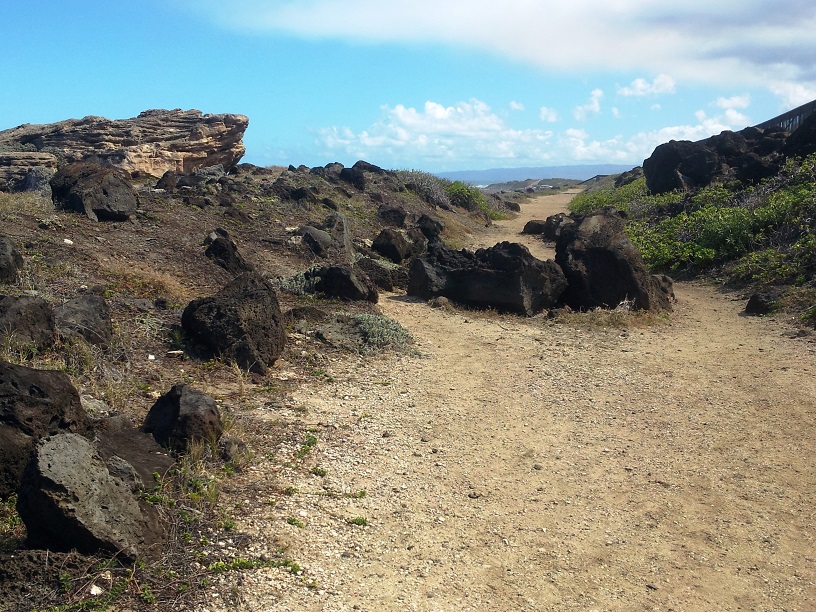
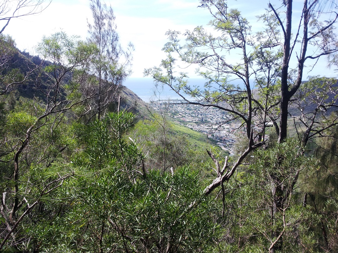
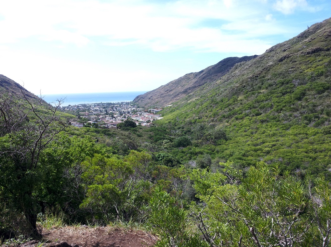
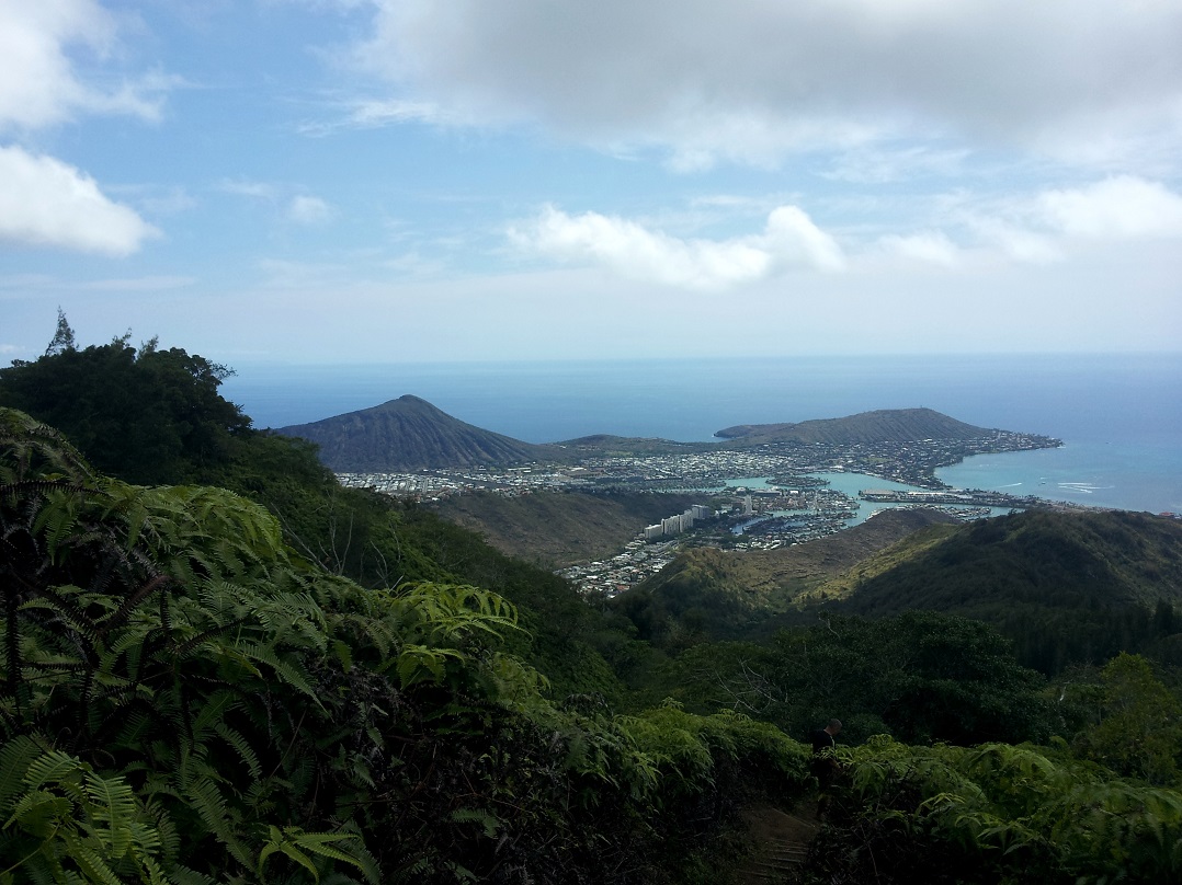
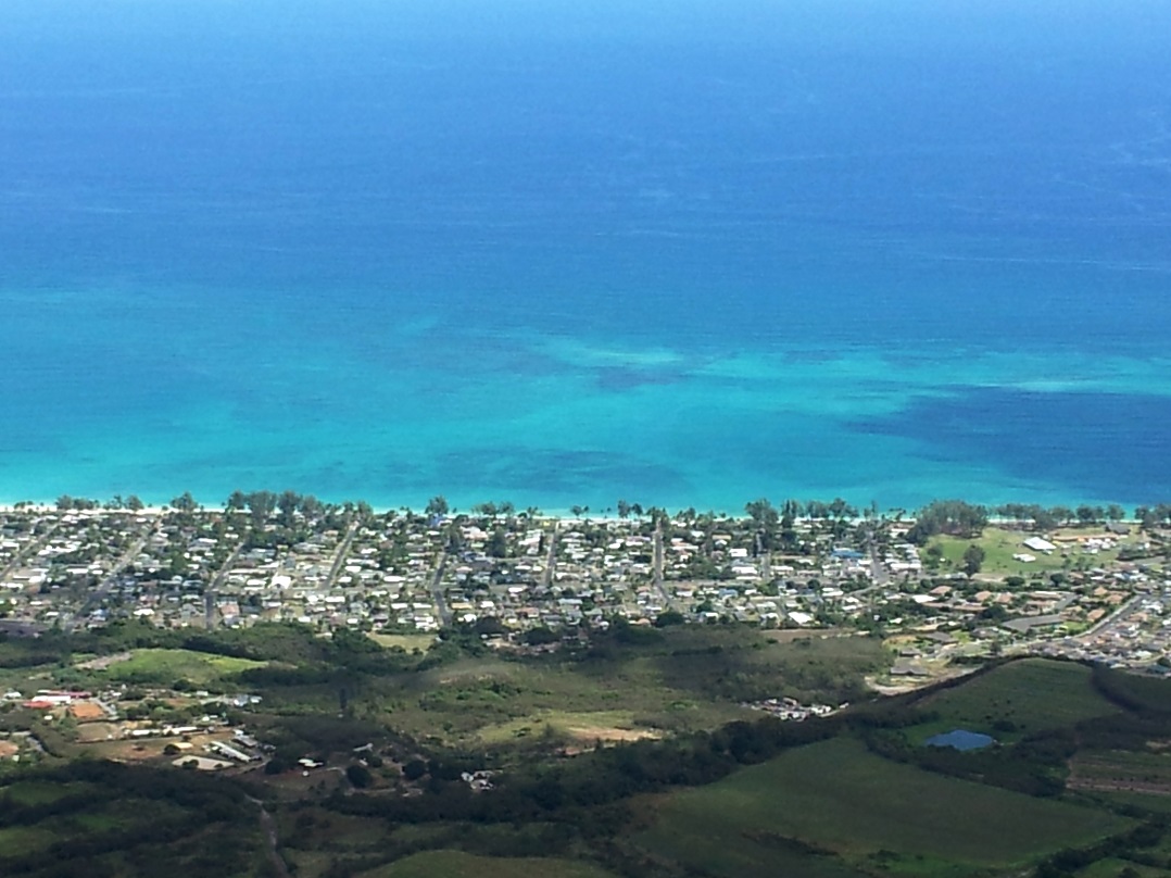
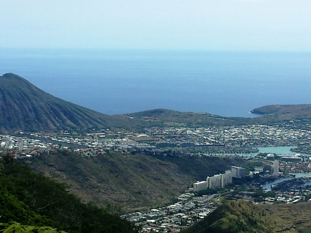
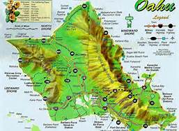
The “Another Perspective” comes from the approach. This trail actually goes around the whole northern edge of the island of Oahu. We usually access it from the west side of the island near our condo, but today we drove about an hour to the other side of the island for a change.

Oahu Map
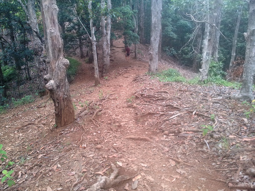
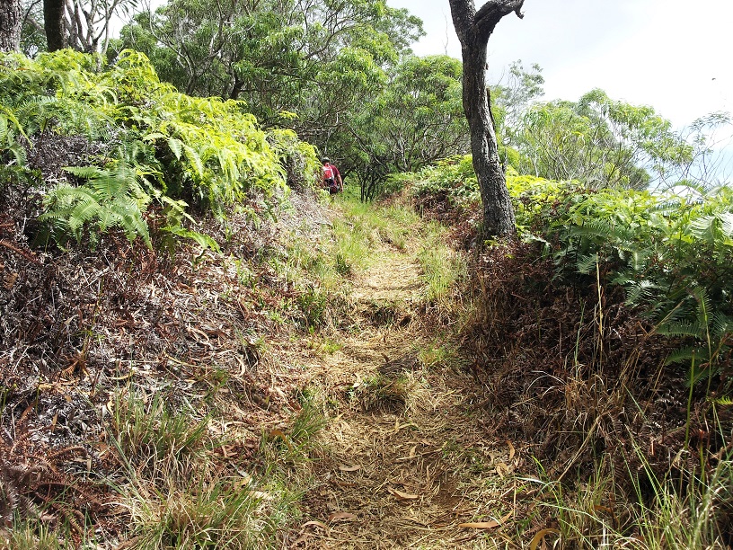
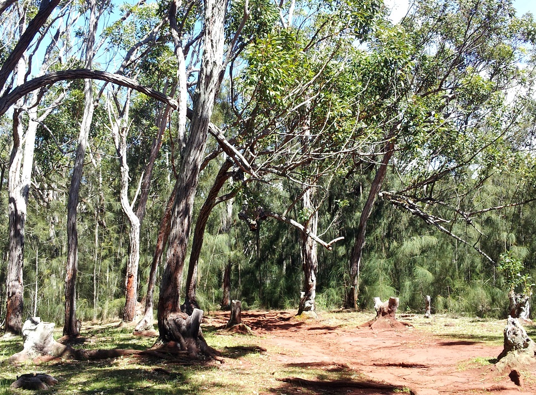
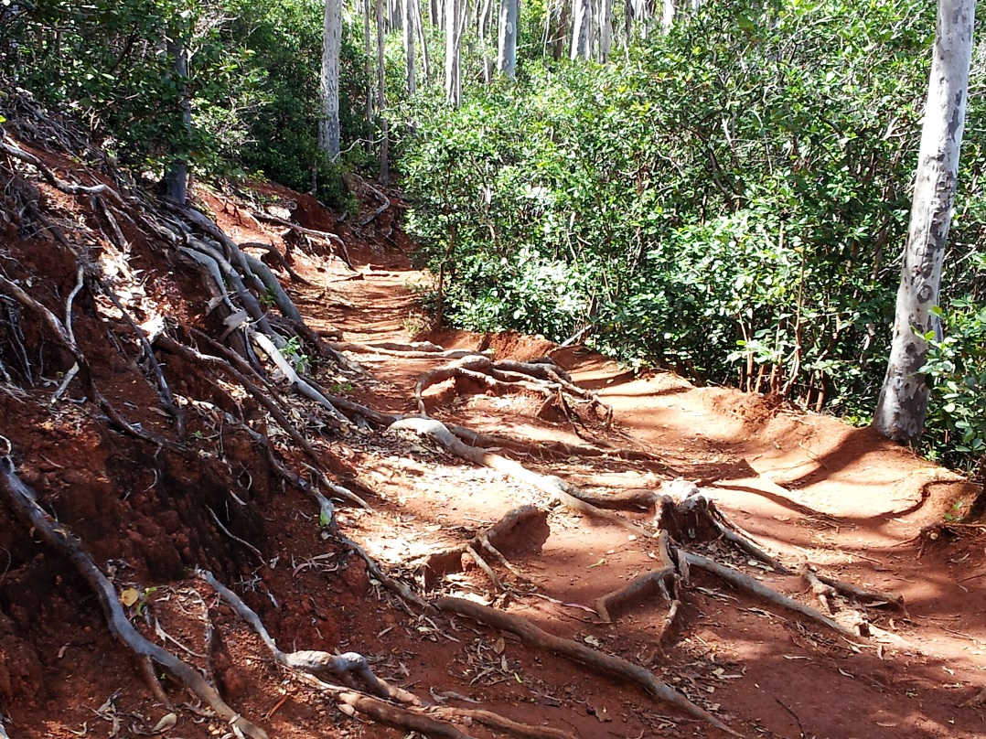
The trail on this side was even easier – drivable very slowly in a four-wheel-drive vehicle. Still, round trip was about 6 miles.

Shearwater
Nesting Shearwater

Anyway, in this expose, I’m going to explain a little more about this trail and about Kealia Point.

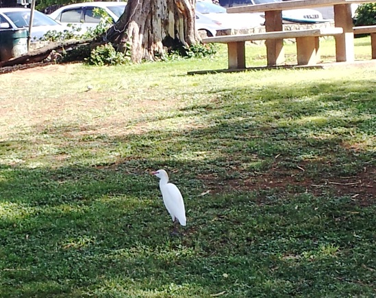
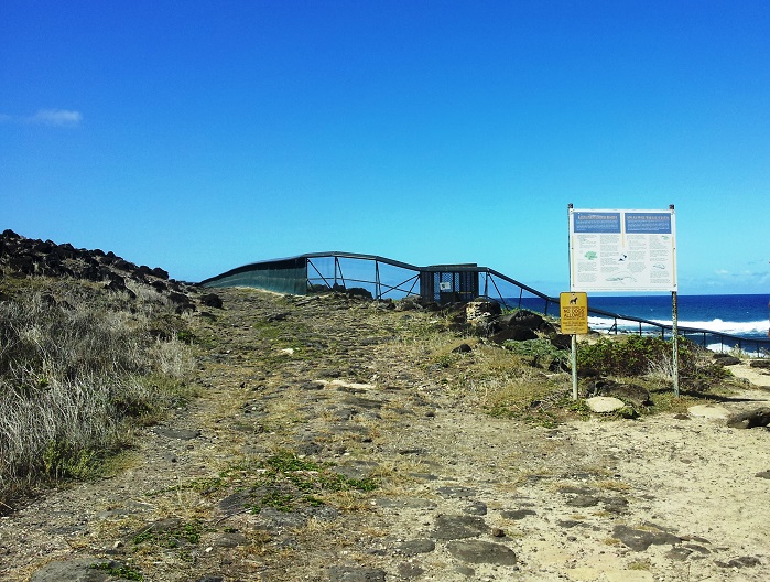
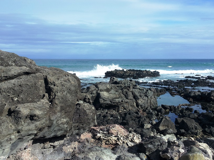
As I mentioned before, this trail ends in a wild life preserve. “Preserved from what?” you might ask. Well let me explain. This area is a primary nesting area for dozens of species of seabirds. These birds spend most of their lives at sea and come to the shore once a year to nest. These birds are being preserved from many predators but the main one is the mongoose.

Mongoose
Mongoose

“But he’s so cute,” you might say. Let me tell you about him. The Mongoose was introduced to Hawaii in the 1800’s by the local people to deal with the growing rat population. The only problem, rats are nocturnal(sleep during the day) and mongoose sleep at night. That didn’t work out so well did it? The mongoose population thrived as did the rat population, I guess.  Anyway, one of the mongoose’s favorite foods is bird eggs. This has become such a problem that many seabird species are near extinction – thus the preserves.

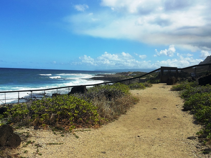
In this preserve, the whole northern tip of the island is fenced off. There are double gates at every entrance. You enter one and close it before opening the second. It’s a pretty nifty system.

Fence
Look close and you can see the fence across the center of the mountain. (Click to see close-up.)
Gate
The gate at one entrance of the preserve.
More Trail and Gate
Gate and Fence

Inside, here and there you will see rodent traps.

Trap
Rodent Motel

I’m sure they relocate the little fellows to another part of the island.

I think that the project must be working because everywhere we looked we saw nests nestled in the bushes, yea!

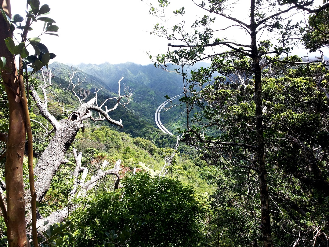
Up at the lighthouse again, Tom and I rested, munched granola bars, and enjoyed the scenery.Tom and Charli 2 Seascape 2 Seascape
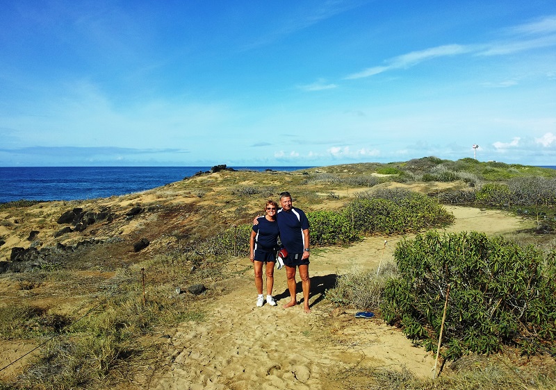
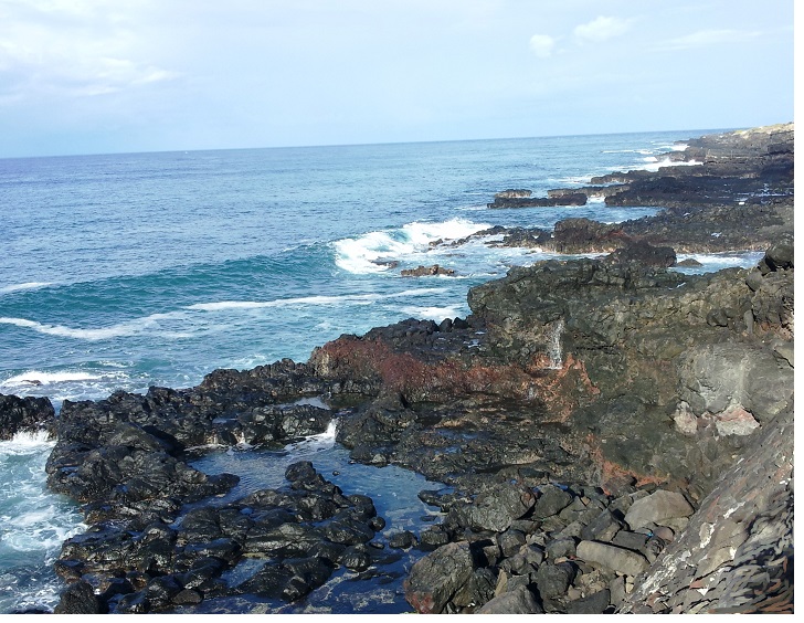
This blowhole is actually on the other Kealia Trail but I didn’t have it for the first post so I’m adding it in here.  We hear it each time we hike that trail and this time I caught it on video. Turn up the volume. It’s pretty fun. 

Seascape Then we headed back.

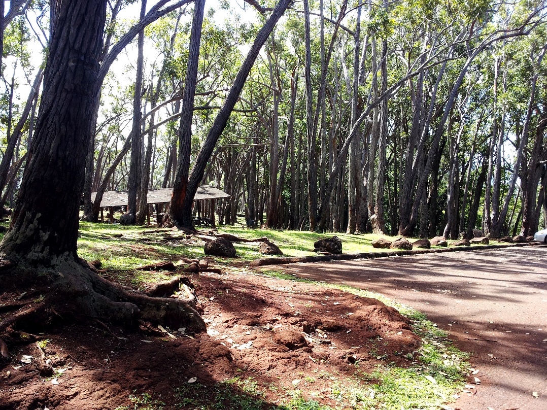
Later, we drove to a beach park near the condo for an evening cookout – you guessed it – Aloha burgers but this time topped with slices of pineapple and guacamole, yuuuuummm!, add baked beans and a bottle of wine – heaven!

Red Sails in the Sunset

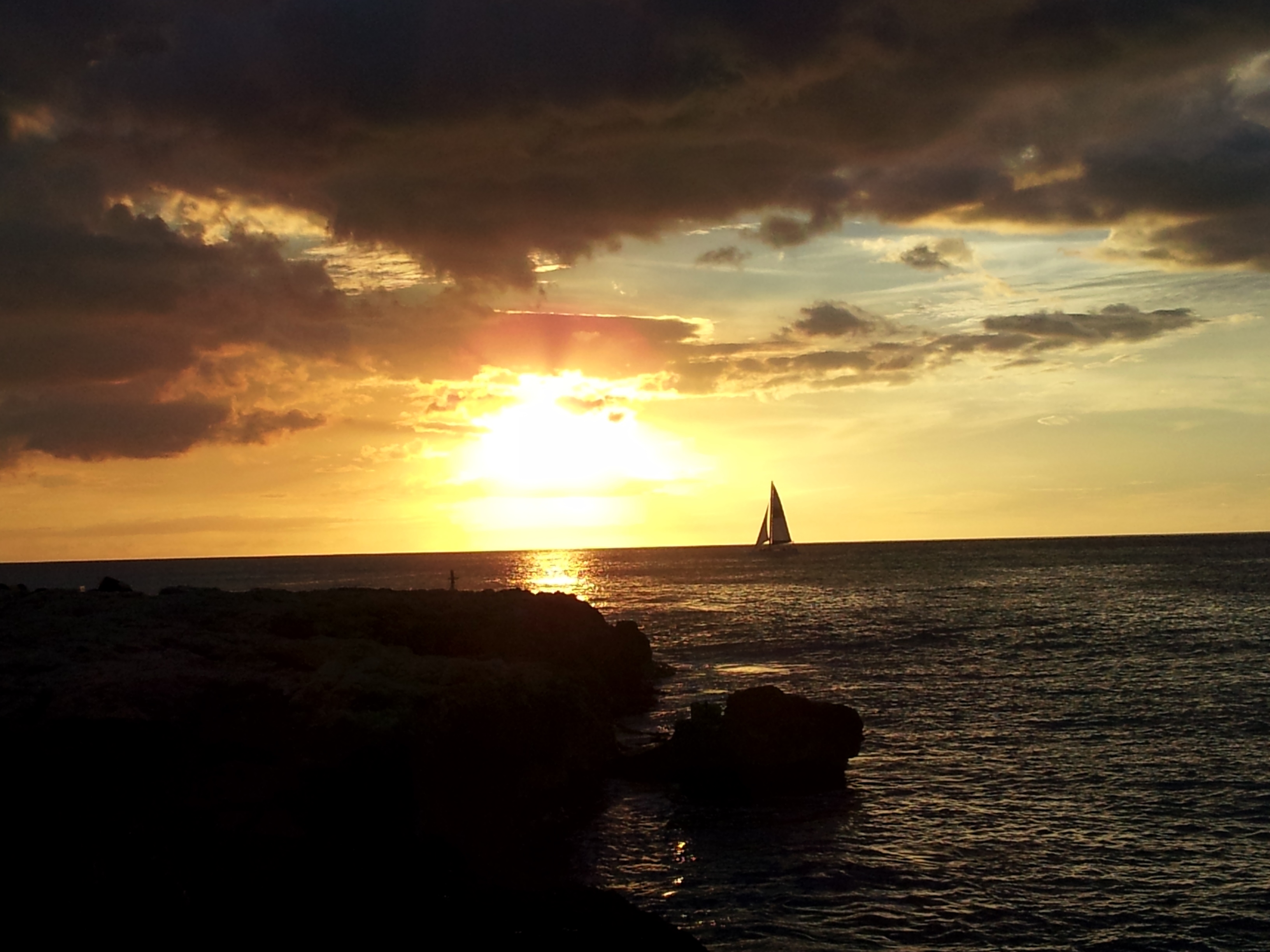
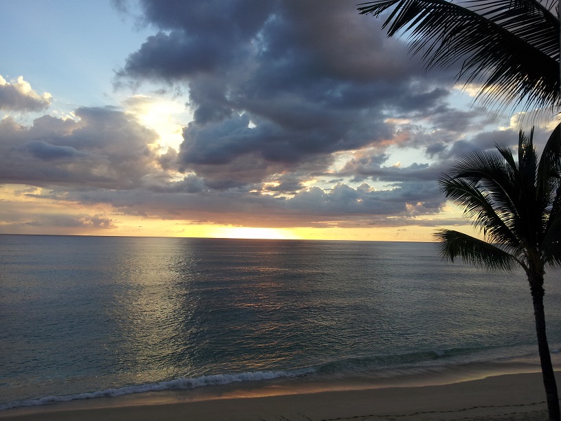
The sunsets were heaven, too.

Manana Trail – A Rollercoaster Hike

Yesterday we hiked a rollercoaster. Let me explain. We knew that this hike was going to be a challenge because it was listed as four miles each way, but what-the-heck we were going to give it a try. Hiking the half mile through the park to the trail head seemed like a cakewalk after the Kuliouou Trail.  Trail 1 

Steep Trail 2
Tom way at the bottom.

What the website failed to disclose was that this four mile trail was one rollercoaster drop and climb after another.

Steep Trail
Tom way at the top.

Read More »

Kuliouou Ridge Trail

Scenic 1 In my last post, I talked about climbing 800 feet and huffing and puffing. Given that, I’m not sure what made us think that hiking the Kuliouou Ridge Trail was a good idea. The hiking guide said that the trail climbed 1200 ft. – we did okay on the 800 ft. climb. We can totally do this.  It’s not that much higher right?

The trail starts out at the end of a small neighborhood with little parking so we had to park a quarter of a mile down the road, but hey what’s another quarter of a mile? We strapped on our backpack, water bottles and hiking hats and started out. At first this trail was much like the Aeia trail with gradually ascending switchbacks up the side of the mountain Trail 1 Trail and beautiful scenery along the way.Scenic

We continued along occasionally checking our GPS to monitor our progress and feeling pretty good about ourselves. Though there was a fair amount of huffing and puffing again, we were already at 900 ft. and hanging in. Trail 2

Trail 4A while later, going by our GPS and the time that we had been hiking, we were just about at the end of the trail when we came to a small shelter. As we rested a bit, some hikers on their way back down said that the views were fantastic and worth the effort. We asked how much further and one said “You’re about half  way there.  After several long moments of shock and dismay, Tom questioned him and the guy revised his statement saying well, maybe we were about 3/4 of the way. One of the others then said in a very ominous voice , “Good luck with the steps.” Wonder what that means?

They moved on and, being pretty determined and possibly a bit stubborn, so did we.  About 20 minutes later we found out about the steps.  There were 266 of them and they went straight up the mountain another 400 ft. I thought I was going to have to be airlifted off.

Trail 3

After stopping every ten steps to breath – stubbornly, determinedly, and gasping for air we made it to the top, and as promised, the views were spectacular!!!!

Scenic 6
It’s difficult to see in this picture, but the island of Molokai was visible in the distance.
Scenic 4
Maunalua Bay
Maunalua Bay
More Maunalua Bay

After a long rest and soaking in the magnificence of our surroundings, the question became, “How do we get back down?” We discussed hurling ourselves over the edge but decided that that was a little extreme, so we started the long journey down, and down, and down…

We eventually made it (on very rubbery legs). It took us about 4 1/2 hours and our GPS said that the rise in elevation was 1800 ft. – a guide book we looked at later confirmed that. It didn’t make my legs feel any better, but at least it made us feel better psychologically.

Anyway, we headed to a nearby park for a late lunch – Aloha burgers of course.

Picnic Area
Kawaikui Beach Park

Egret   Flowers 2

The park was lovely, quiet and a perfect place to decompress.

Then home for a little beach time and cocktails.

Aloha

20131015 Sunset

Aiea Loop Hike

Trail Entrance Today was another hiking day, and we chose the Aiea Loop for today’s adventure. We drove to the Aiea State Park which is near Pearl City. The park is located near the top of an old crater, is heavily wooded, and is beautiful. The trail leads up about 800 feet to the top of the crater and then travels around to the other side before it descends back to the entrance – maybe that’s why they call it a loop trail.

Roots 2
The roots made it imperative to pay attention to where you were walking so as not to end-up face first in the dirt/mud/roots.

Anyway walking in Tidewater area of Virginia (very flat and near sea level) doesn’t prepare you for hiking in the mountains. Never-the-less we embarked on this new hike with vigor and self-assurance.

Along with elevation issues, parts of the trail itself were a challenge.

Roots
Lots of roots, rocks and other obstacles. At this rate by the time we get home I may be up for the Dirty Girl Challenge – probably not.
Obstacles
There were trees and limbs like this all along the trail.
More Obstacles
Some we went over and some under, but as you can see we didn’t go around.
Trail
Some parts of the trail were a little scary. (click to enlarge the picture and look for the arrow. That was the trail.)

Despite the climbing, huffing and puffing and obstacles, we hiked through fragrant eucalyptus and evergreen forests. With panoramic views everywhere… peaceful and very Zen.

Distant Highway
The curved line just right of center is a six lane highway. Needless to say we heard no road noise.

Scenic Overlook Scenic 2

Picnic AreaWhen we go back to the picnic area, we cooked Aloha burgers on our brand new $17 Wal-Mart grill. GrillIt doesn’t get better than this.

;”>And to end this day’s blog – not another sunset, but a moonset taken very, very early this morning. Aloha

Moon
“We’ve got the sun in the morning and the moon at night…”