On Thursday we hiked first to la Pico de Bandama and then into la Caldara de Bandama. In English, we hiked to peak of Bandama Mountain and then down into the basin (caldron) of the extinct Bandama Volcano. This ended up being a pretty energetic undertaking, but we did it!
Just let me say that the maps available on Gran Canaria leave a lot to be desired! They are small, not well detailed and thus very difficult to follow. In fact, our first hike was supposed to be on this trail, however, we got totally lost and ended up hiking another trail in a completely different part of the island. The pictures from that hike were the ones that I deleted and they were gorgeous… but I’ve gotten over it – kind of.
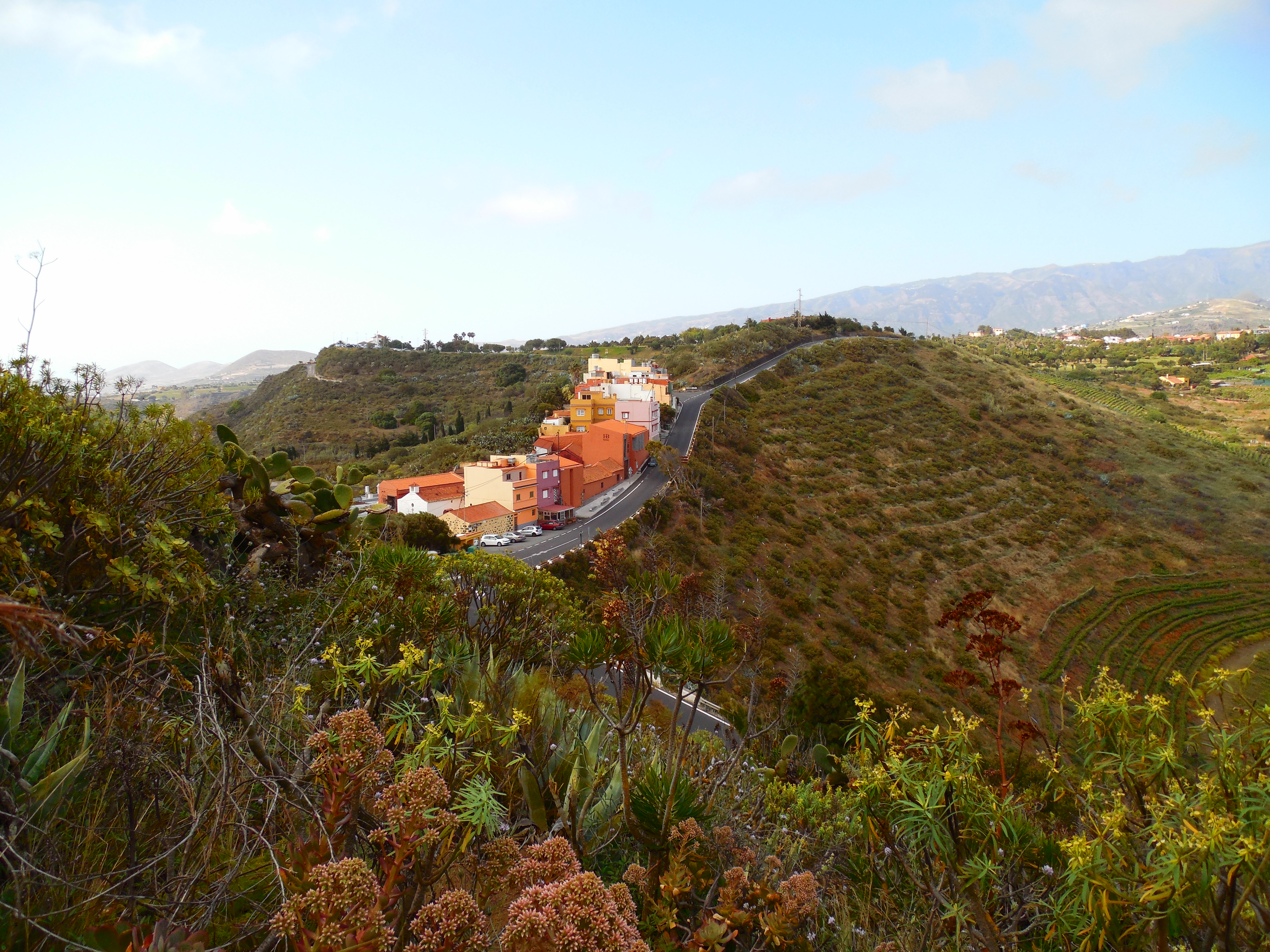
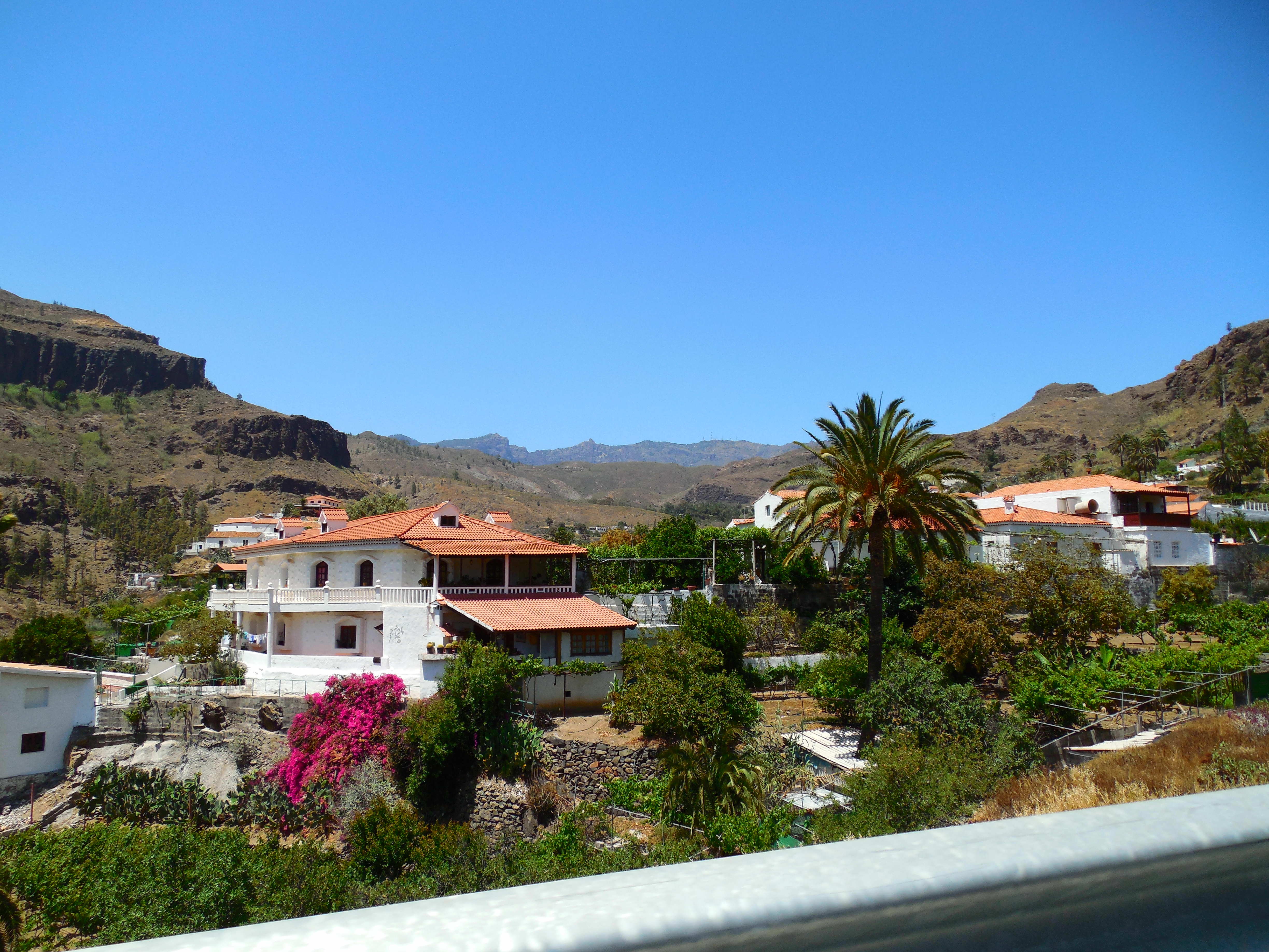
Anyway, thanks to Google Maps and a lot of studying, we finally found the location of the trail we were looking for! We parked in the tiny village of Bandama, near the trail entrance at about 9:30 and it only took us another 15 minutes to find the actual trail head.
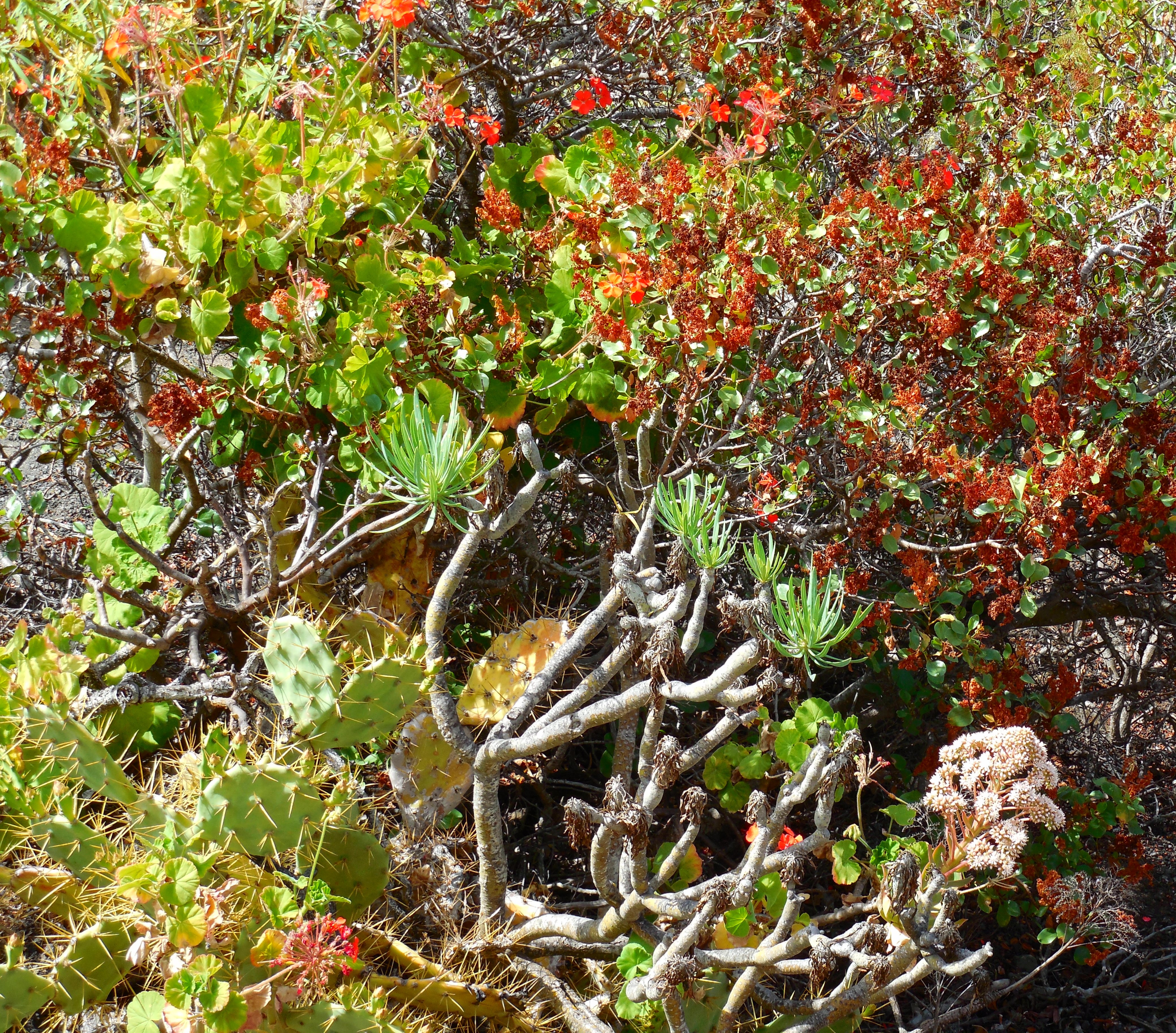
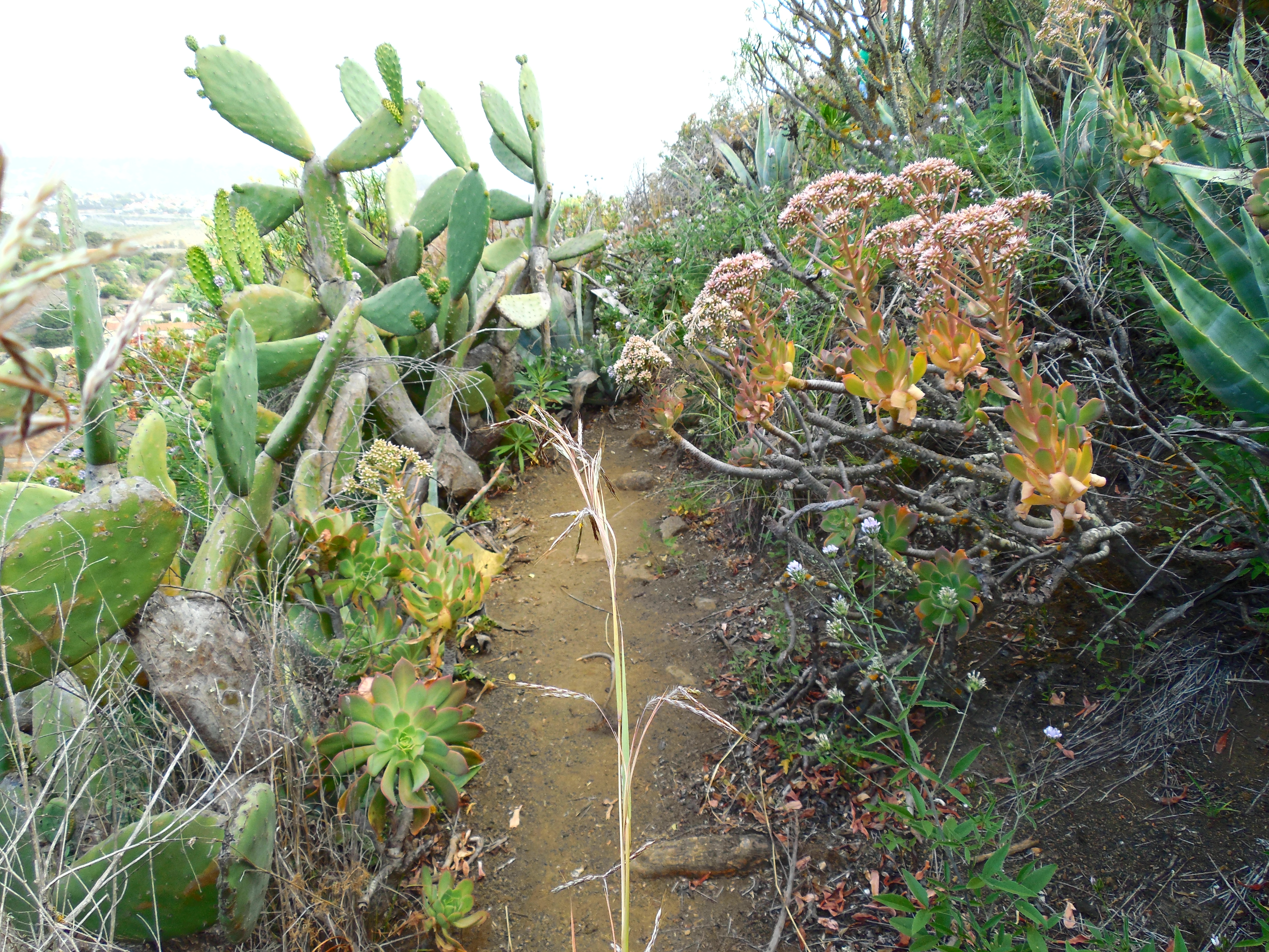
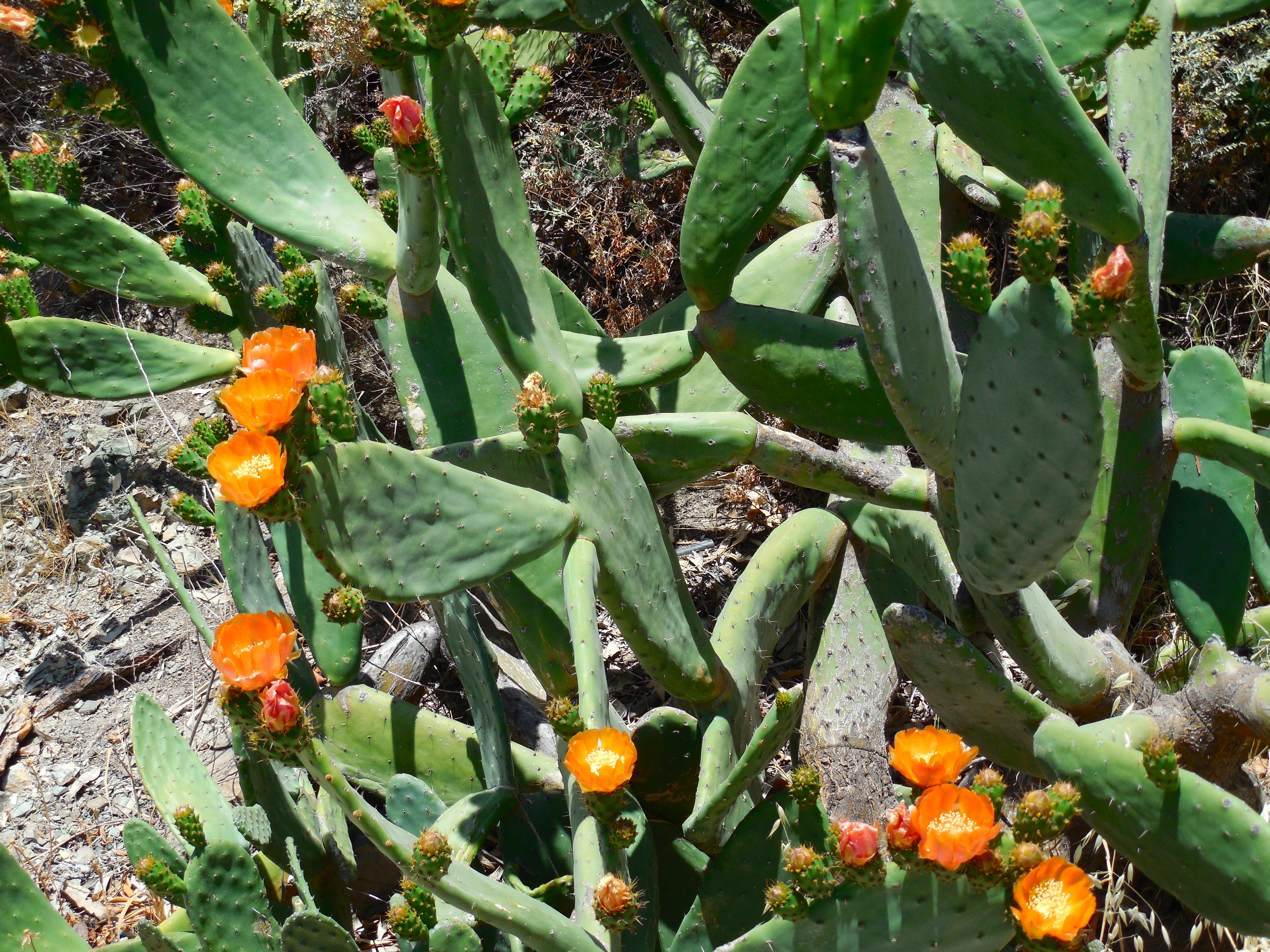
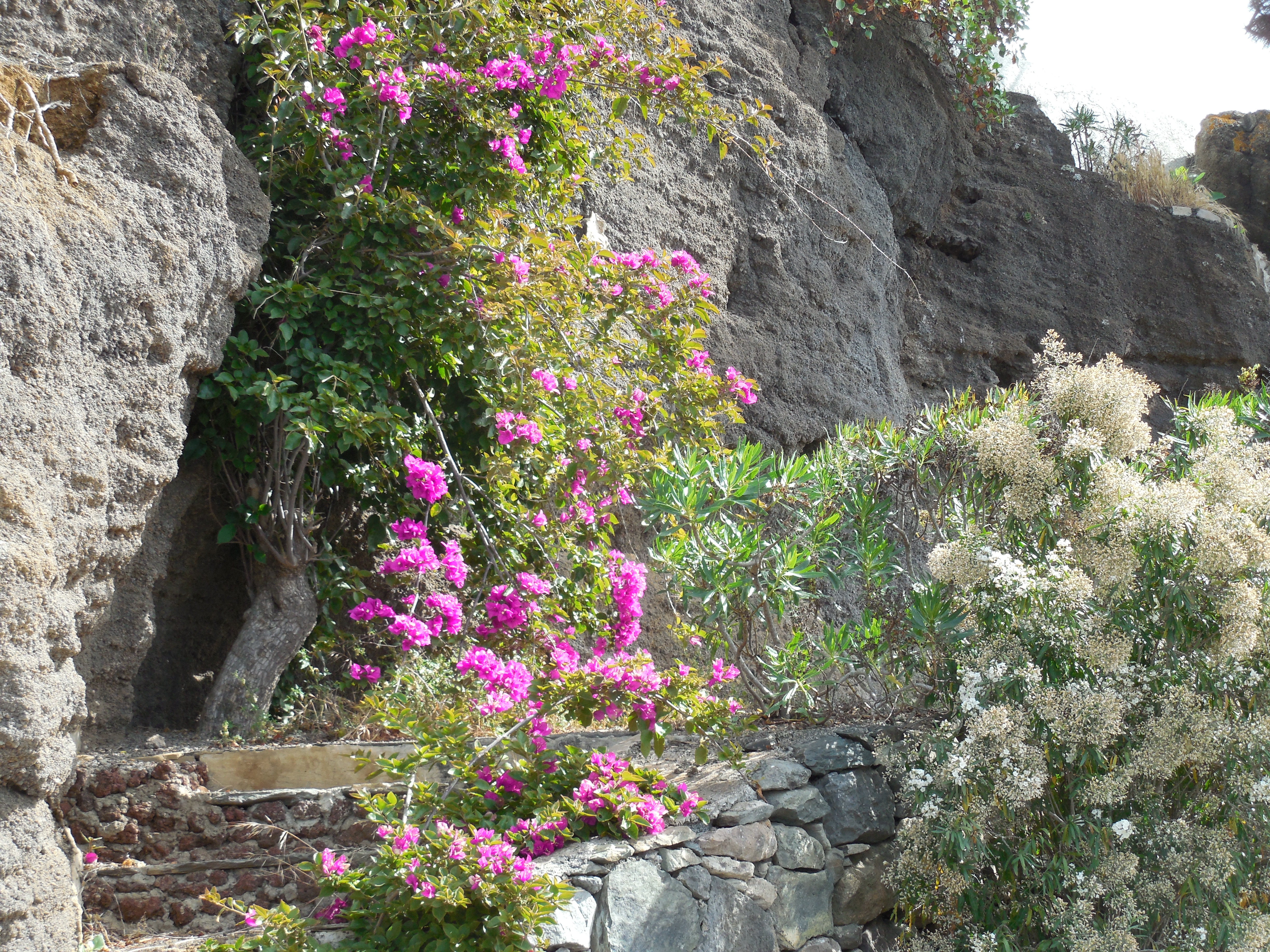
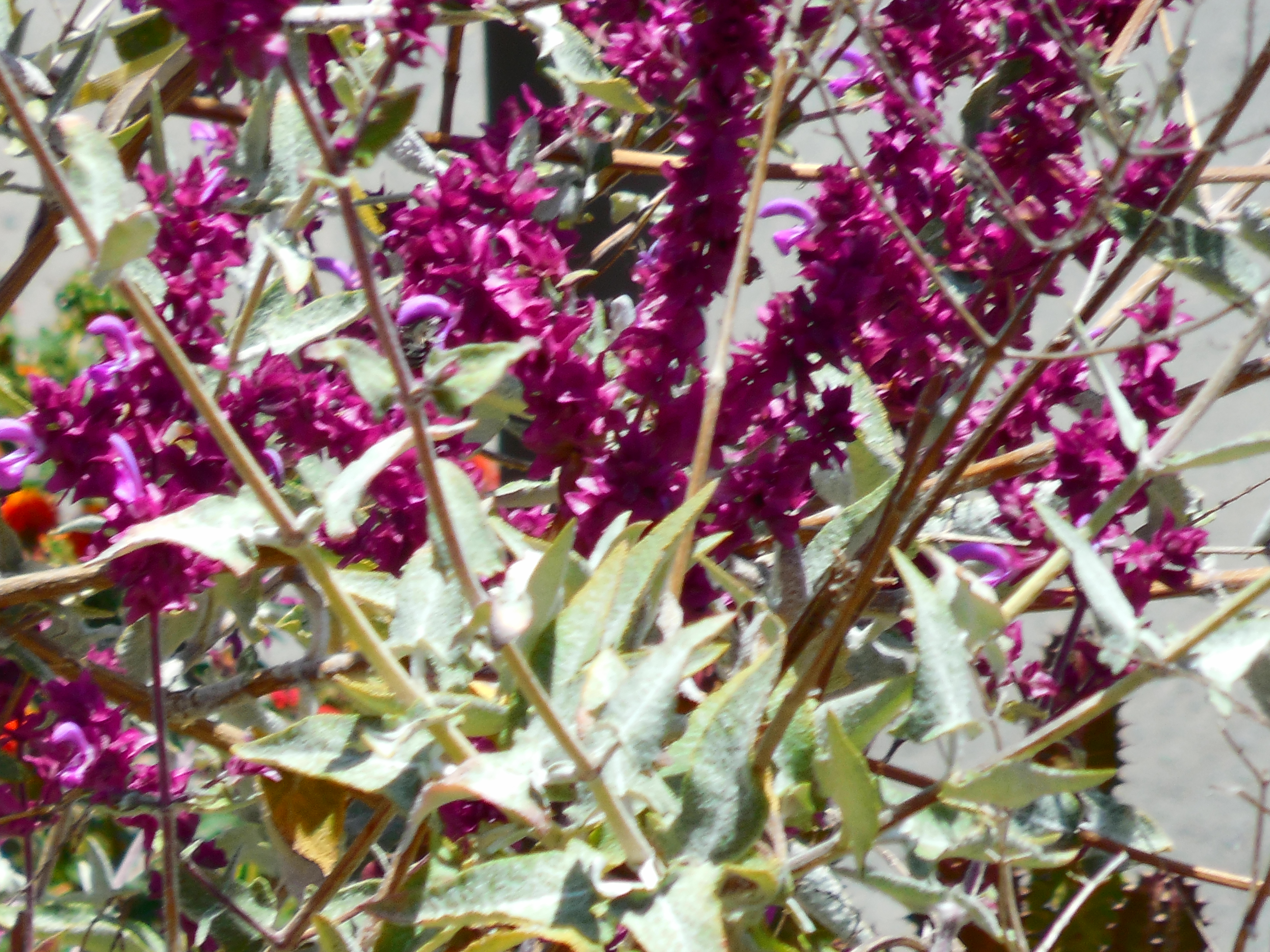
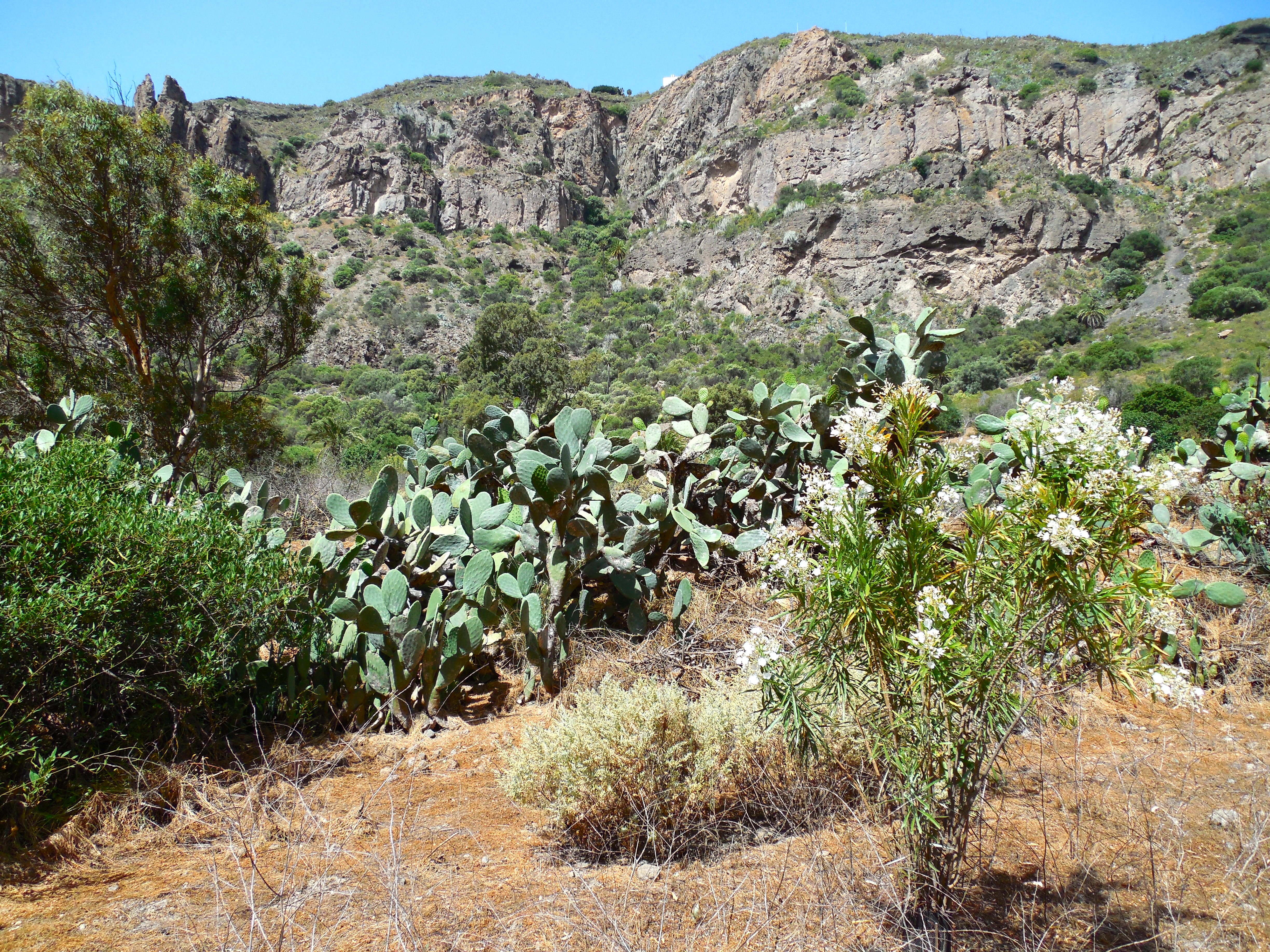
We started up a very narrow, steep path between giant prickly pear cactus, large pointy yucca, and wild geraniums.
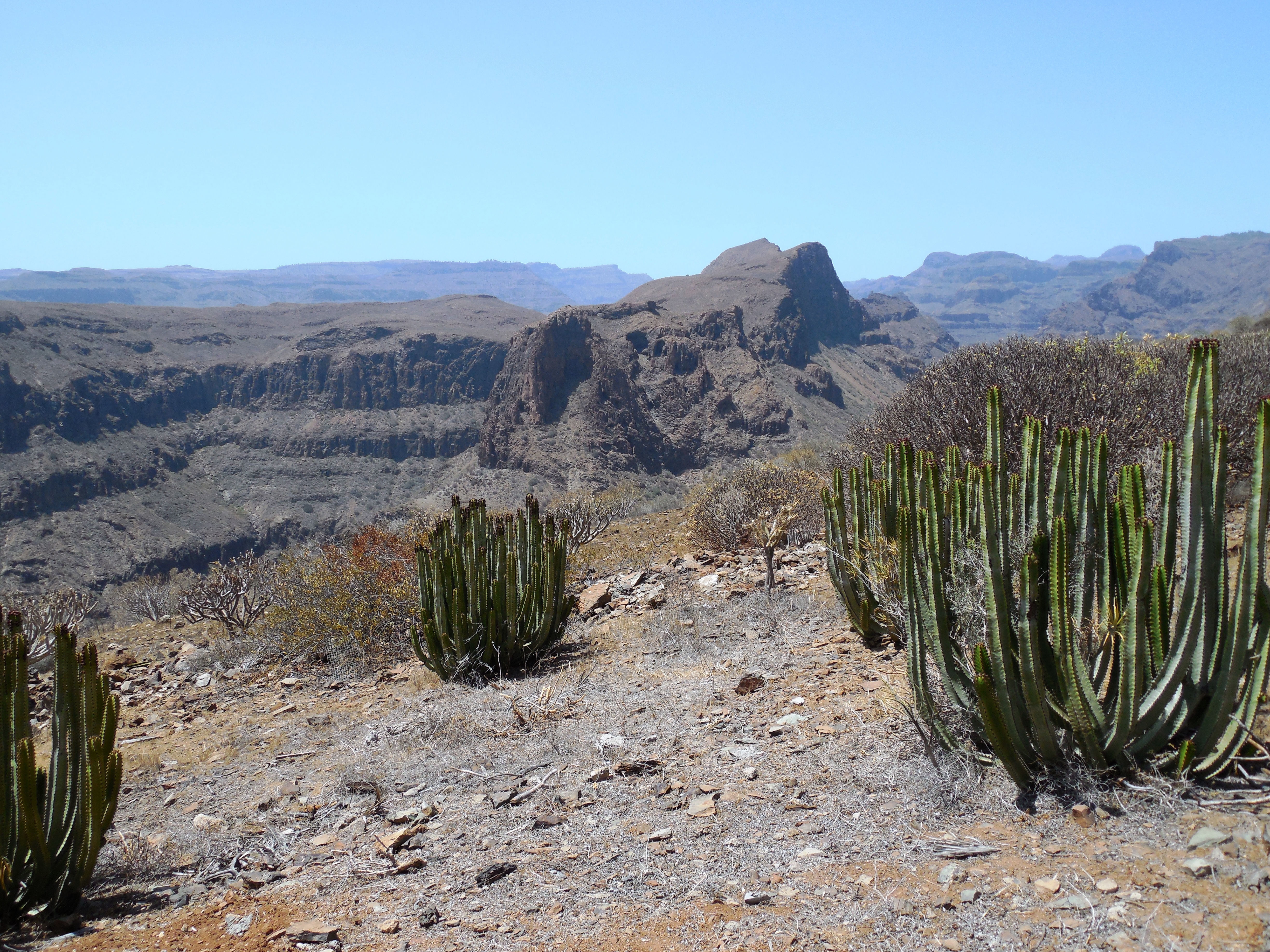
Although tough climbing, we made it to the top in about 45 min. pretty much unscathed. The views were terrific!
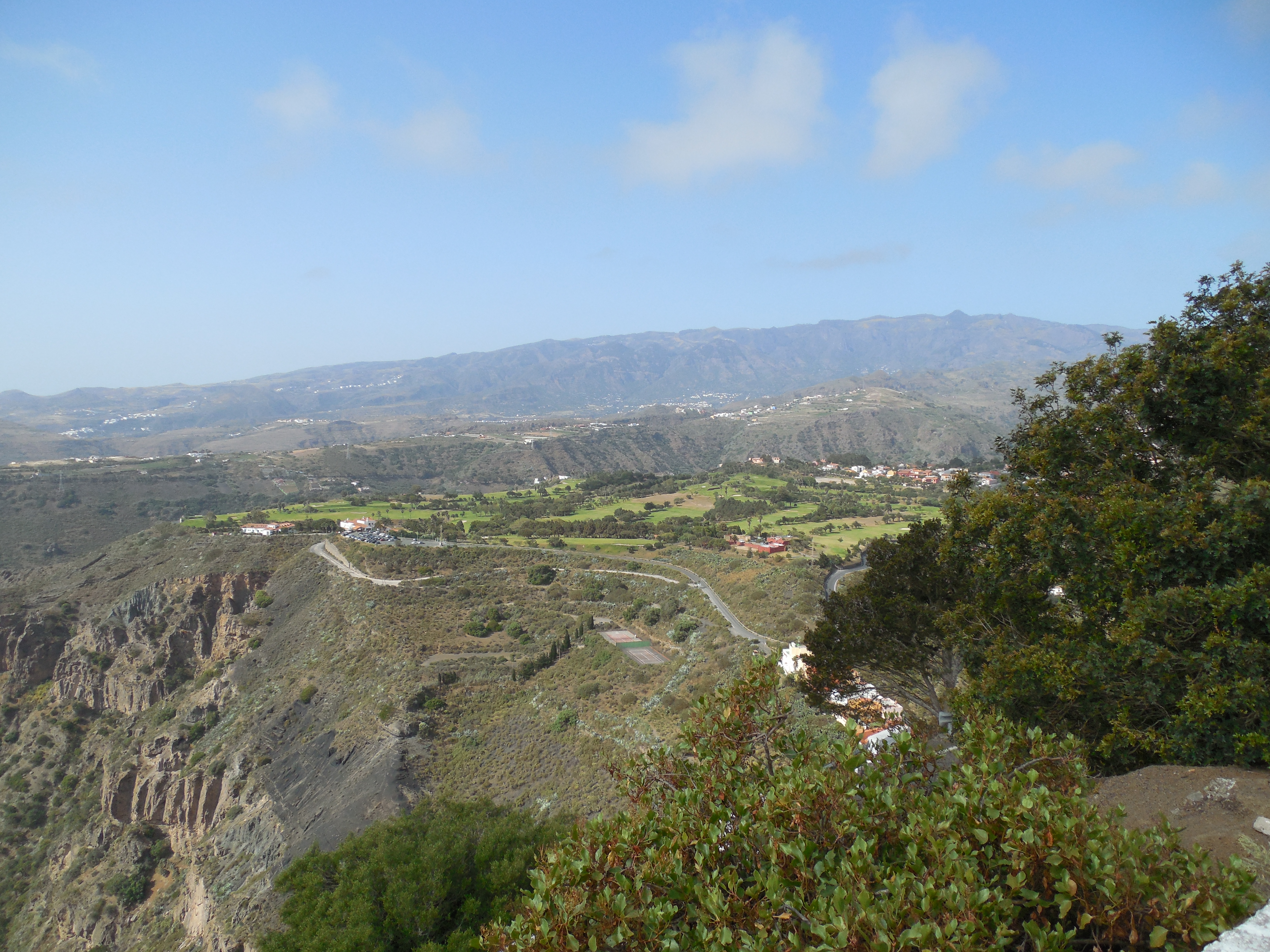
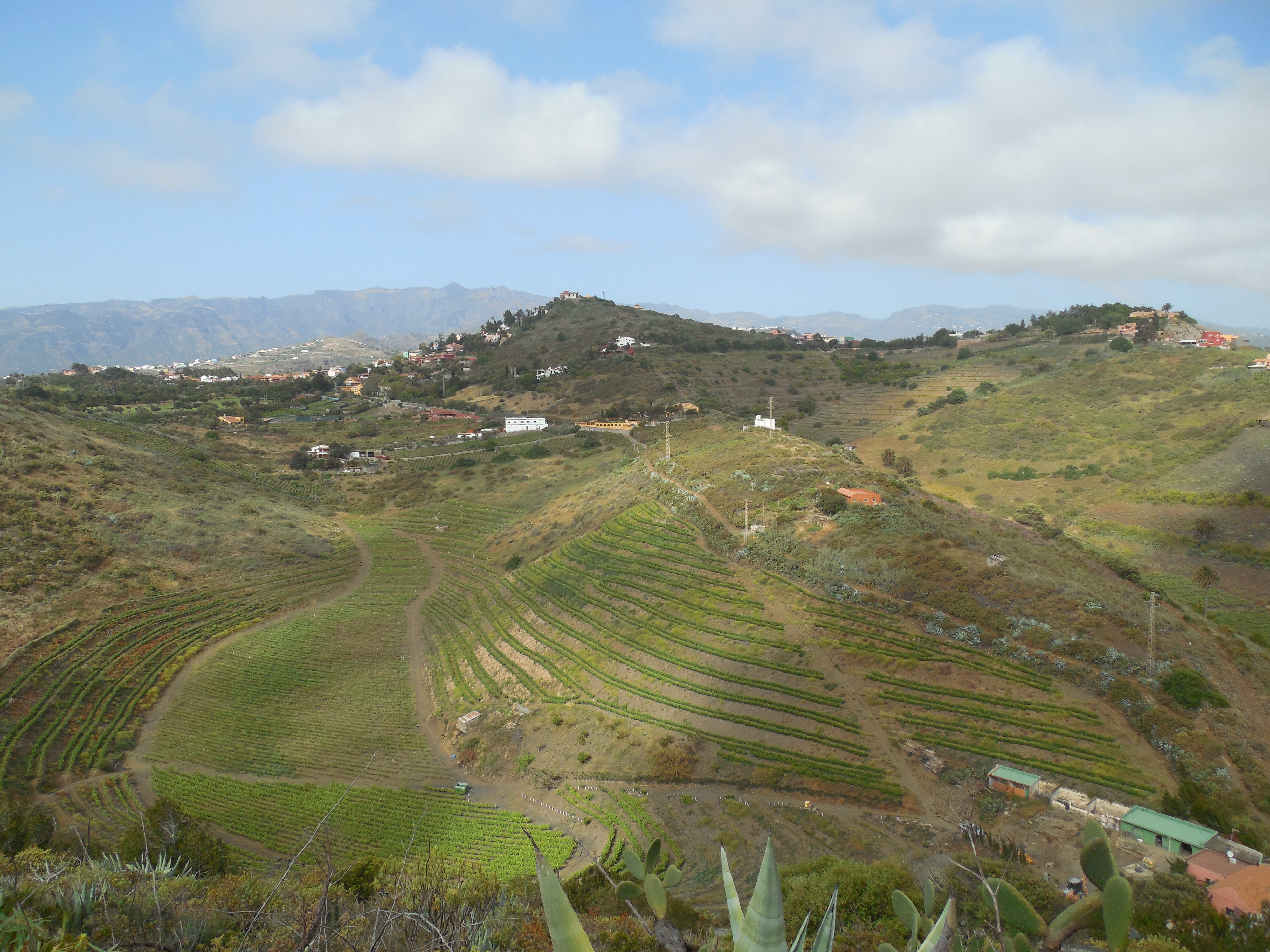
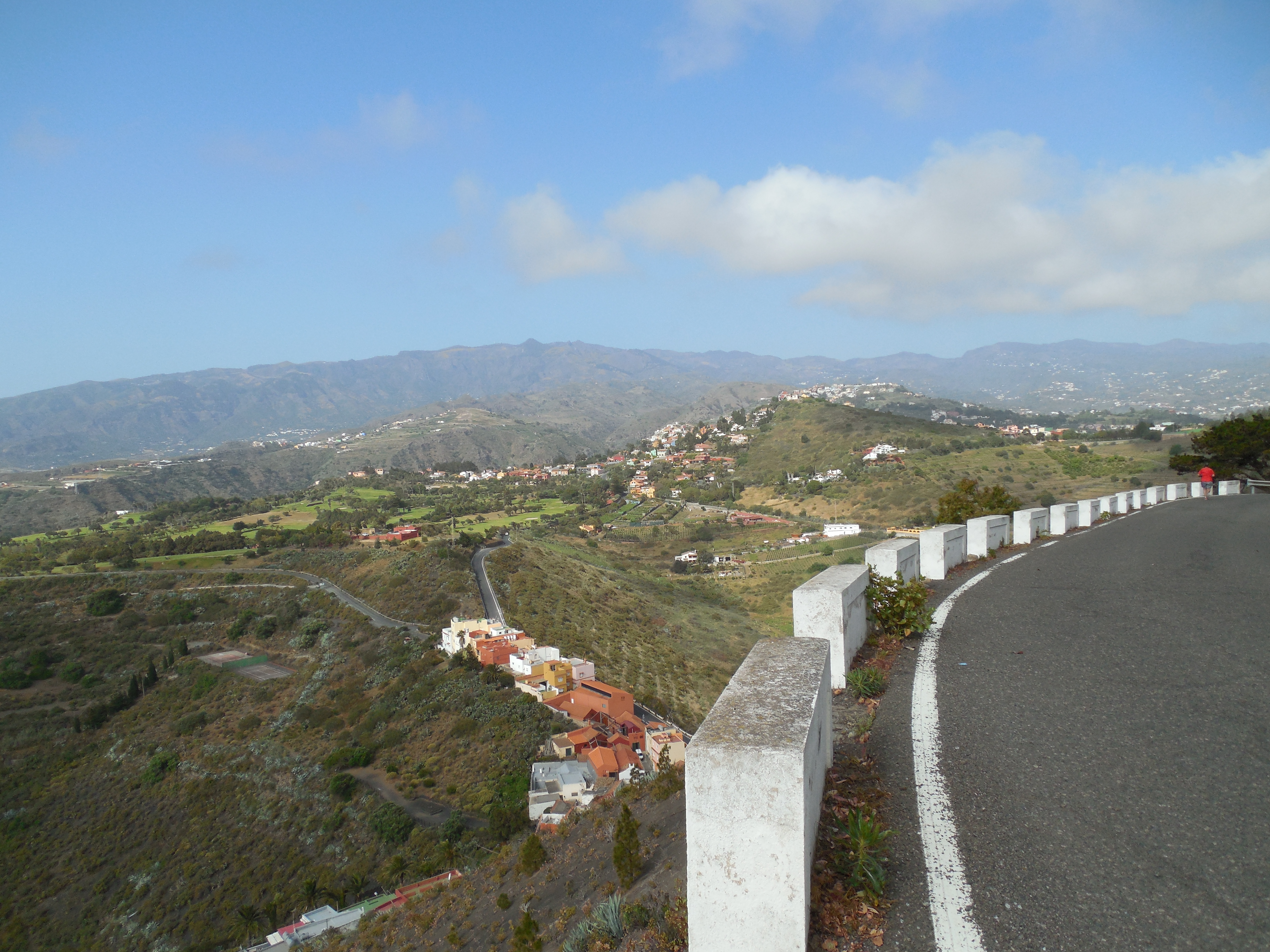
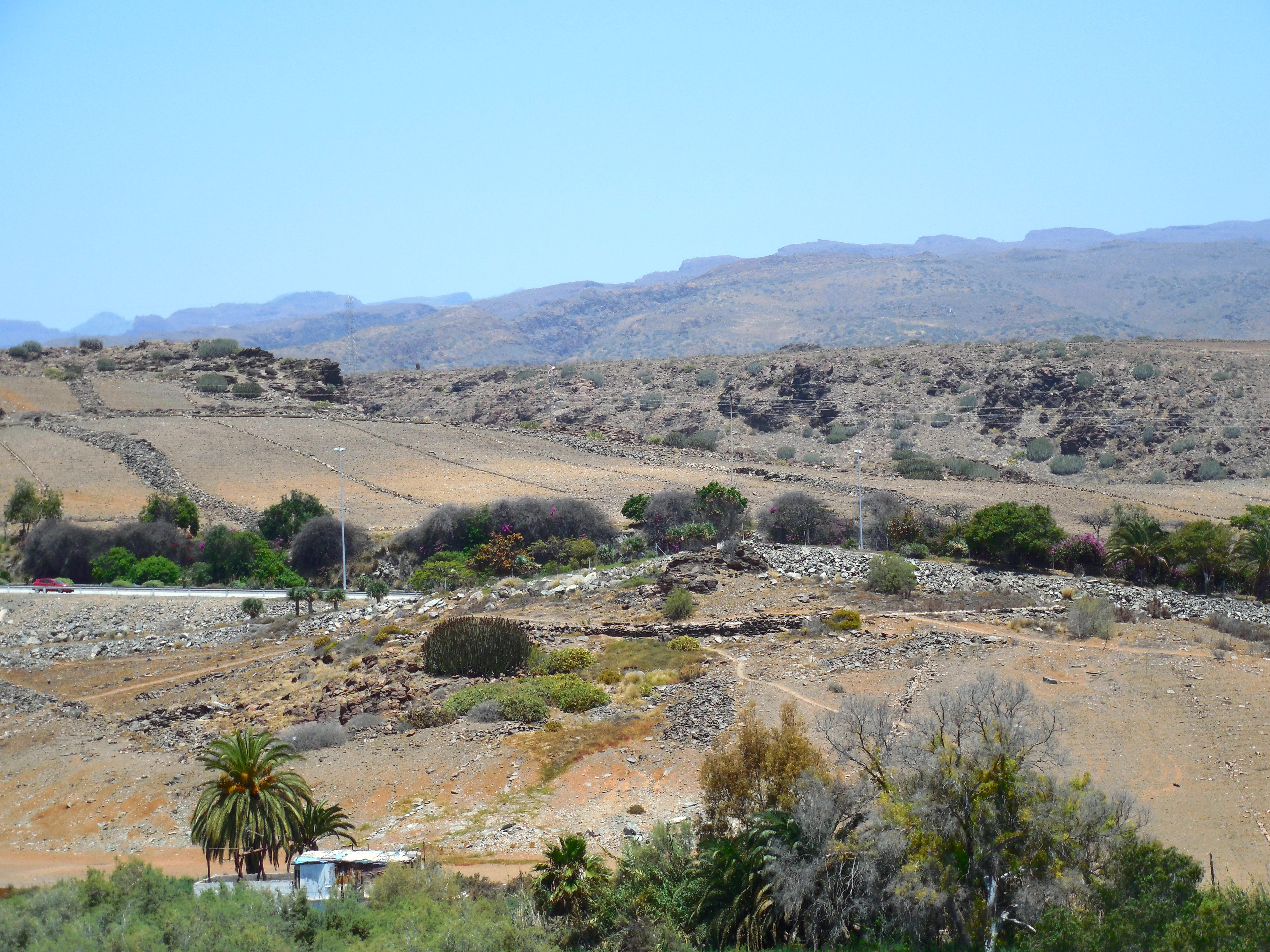
The way back down was along the road. The guide book didn’t bother to tell us that there was a road that went along the back side clear to the top. None-the-less, we headed back down to the village to find the trail into the crater. The views along the road were beautiful too.
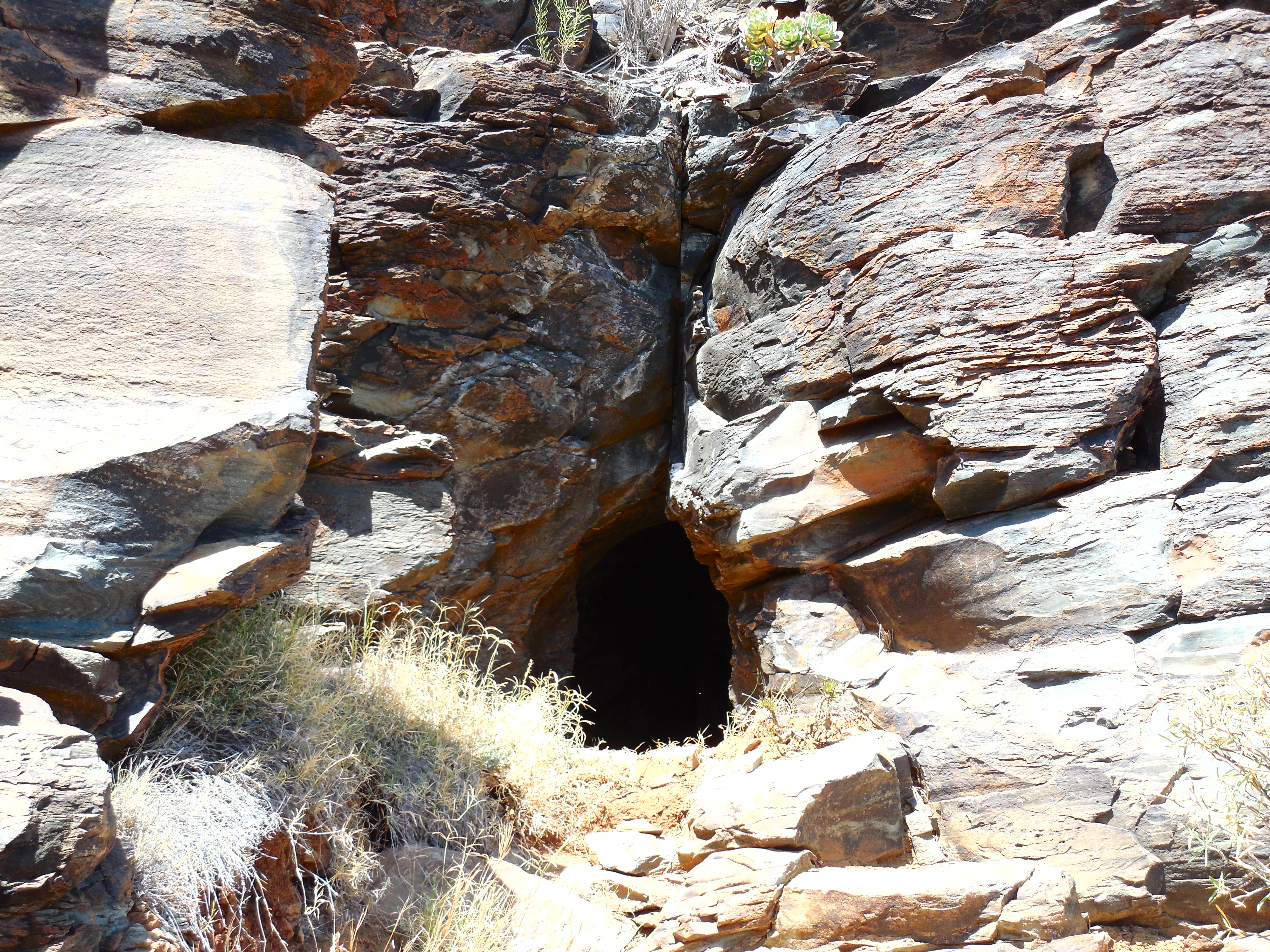
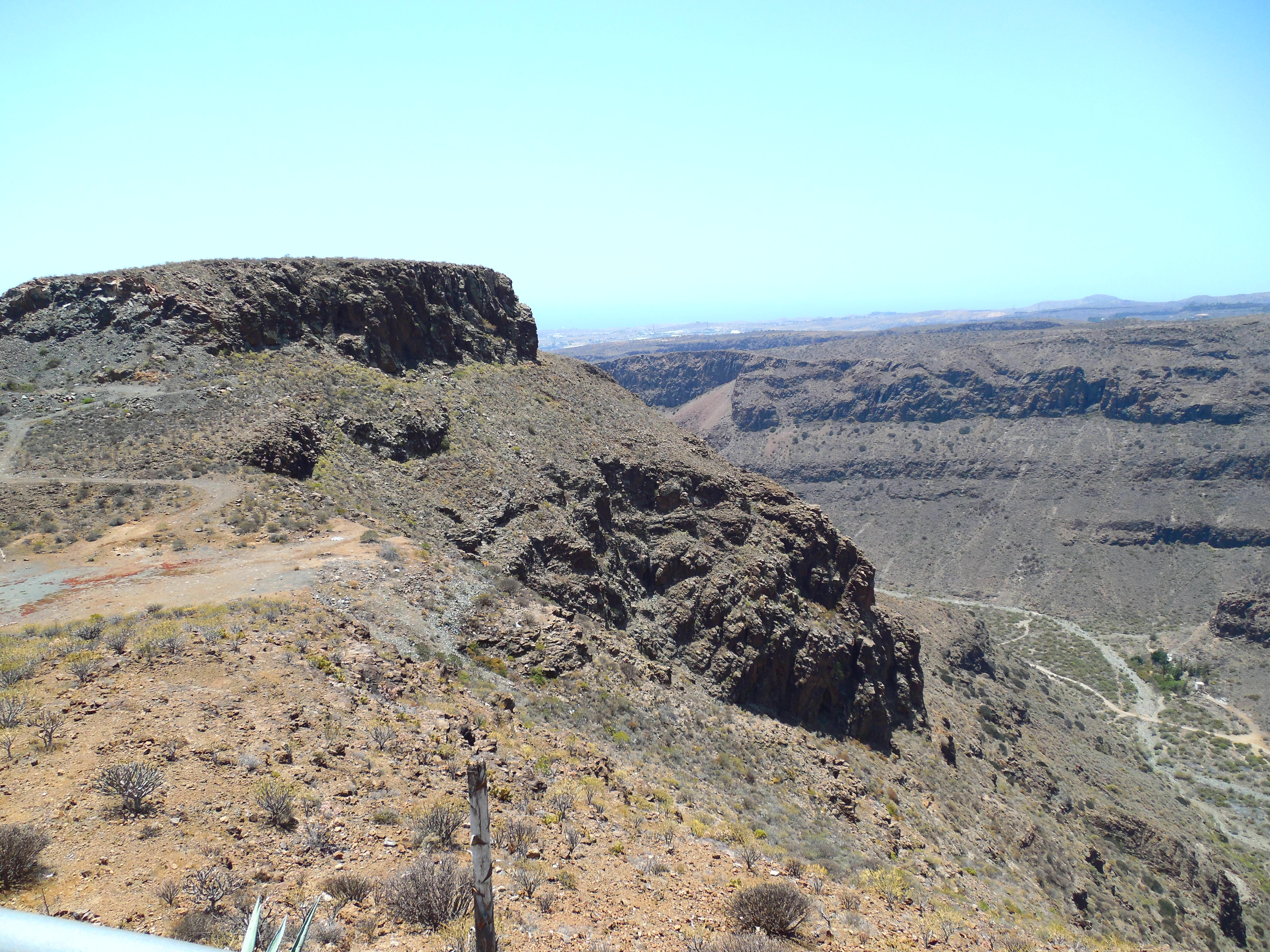
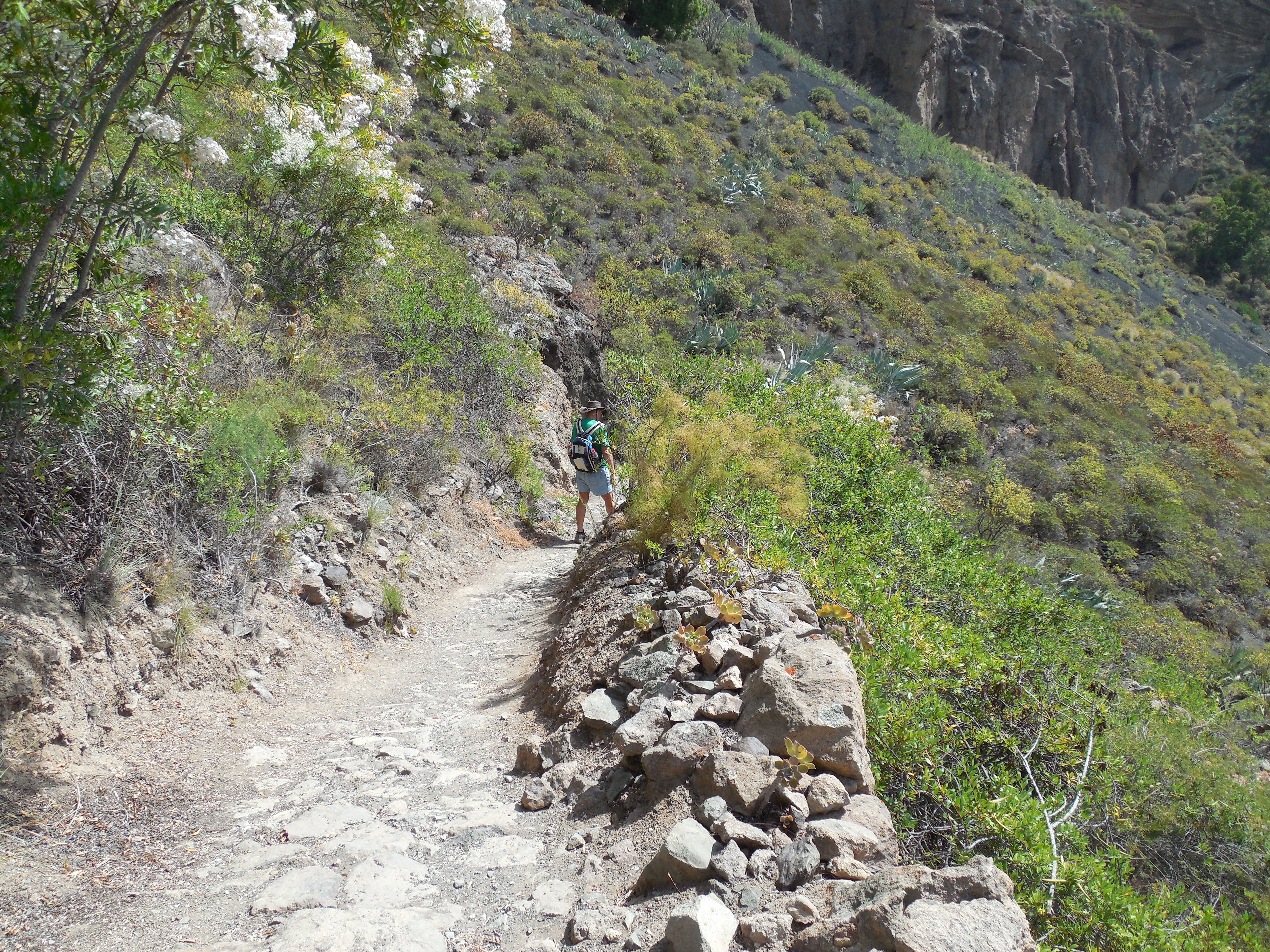
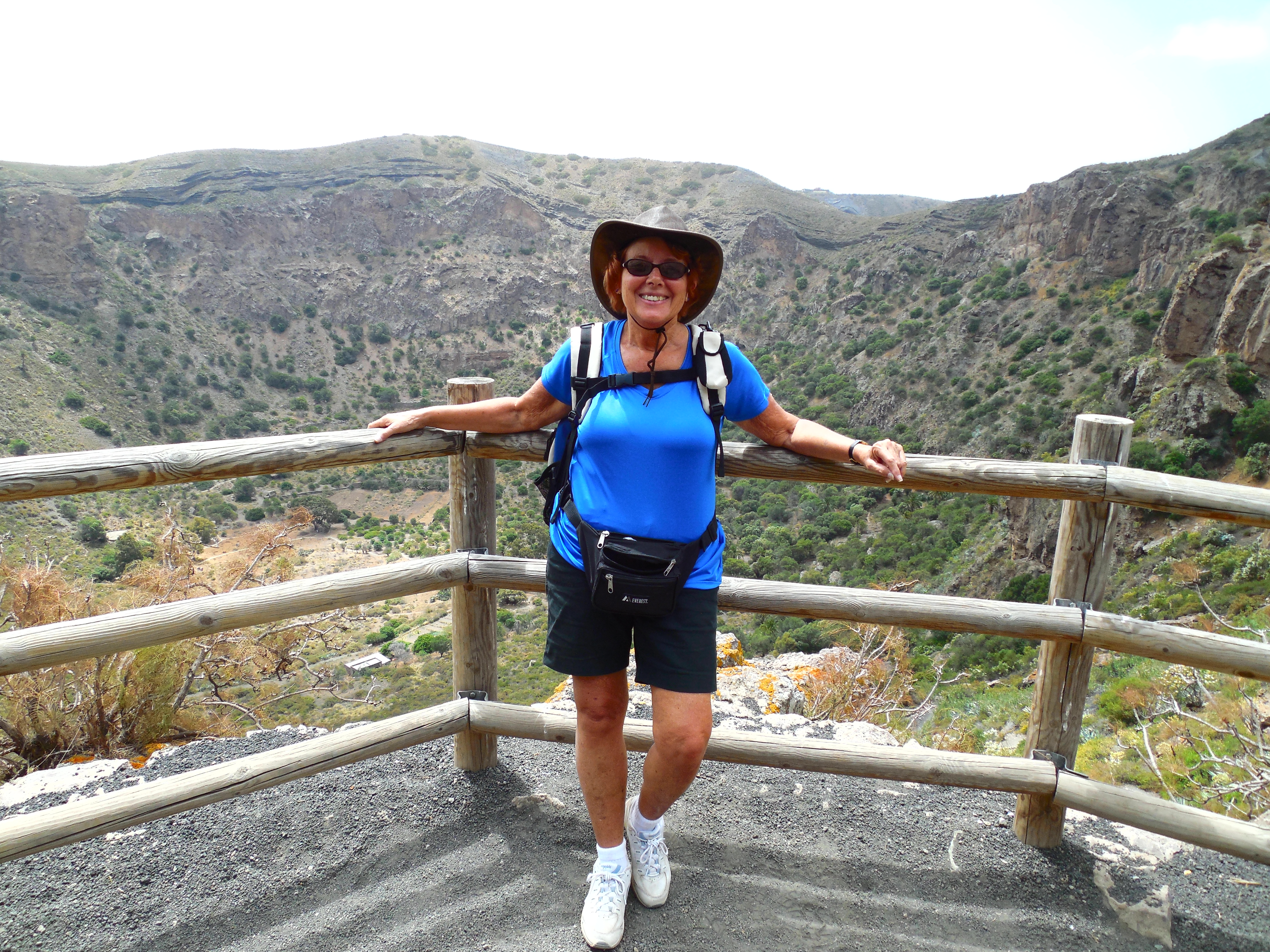
The next part of the hike was the real challenge! Hiking on volcanic gravel is not my favorite thing. A fellow hiker once described it as hiking on ball bearings which I feel is a pretty apt description. It is like light (as in weight not color), round pea gravel and rolls easily making walking on it tenuous. Still, we were well equipped with water and Band-Aids and ready for the challenge.
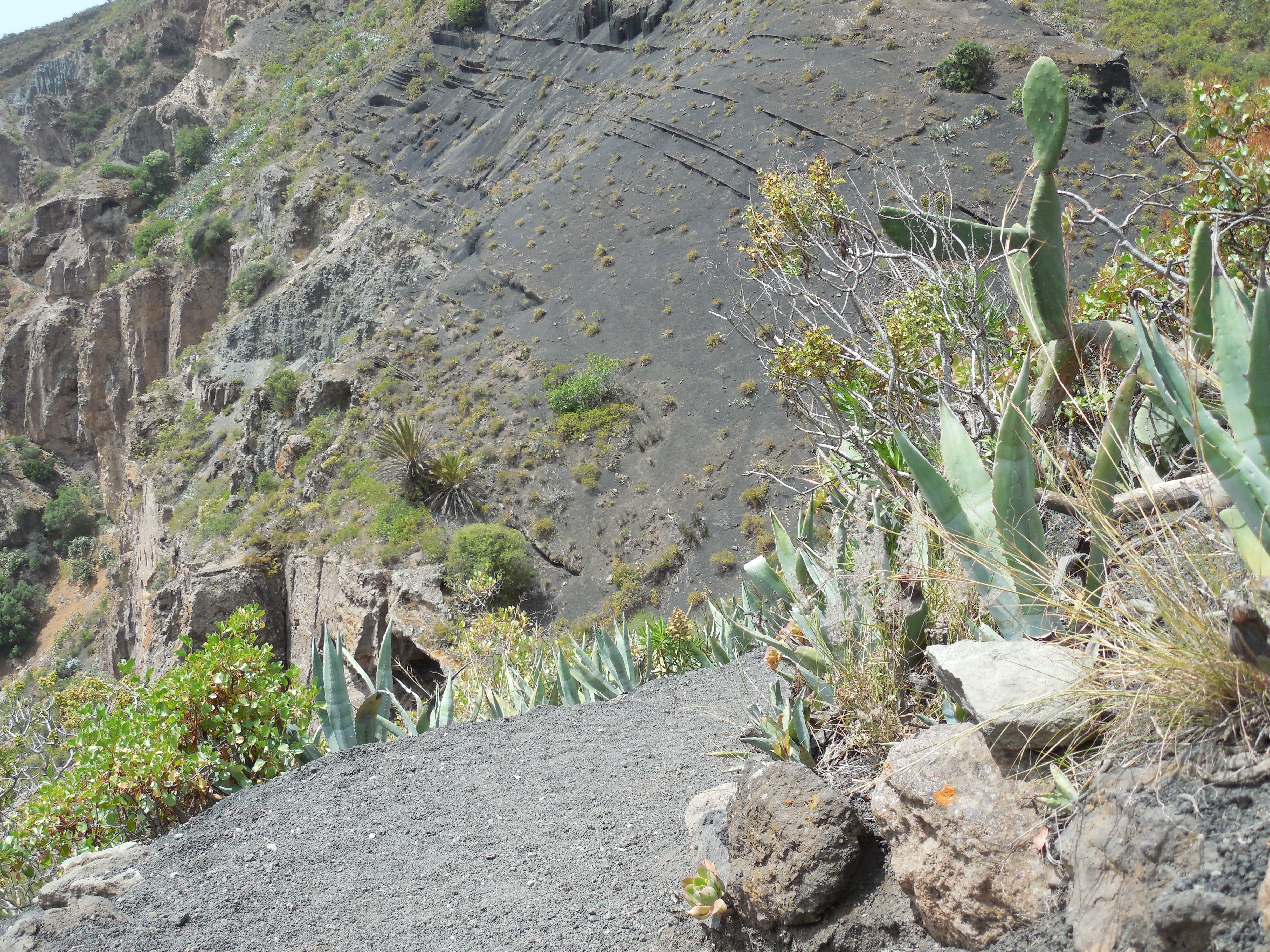
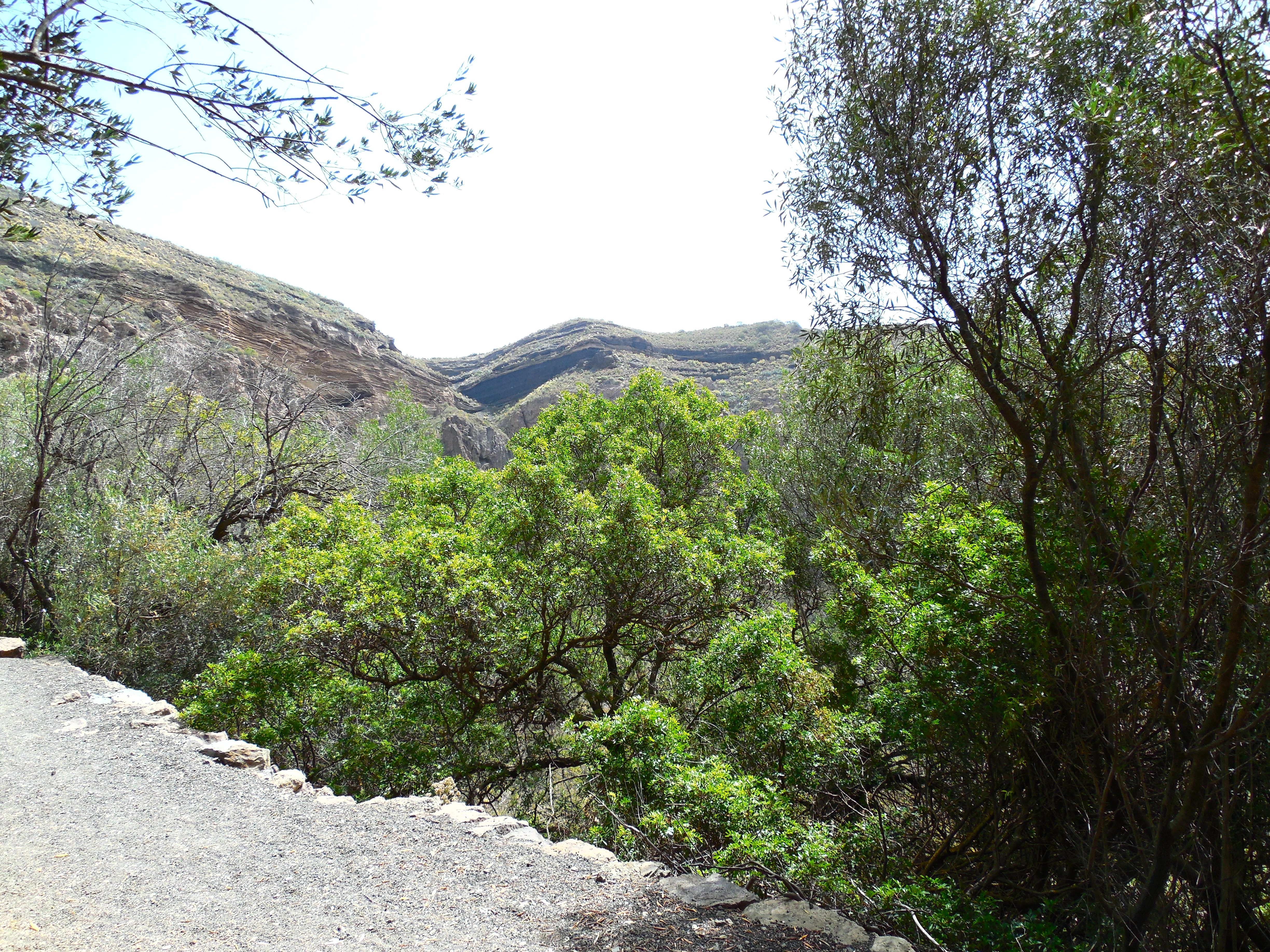
This part of the trail was a lot longer and a lot more open. On the other part you had prickly pear cactus to break your fall, here there were more open areas of steep cliffs. The good news was that the path was wider in most places.
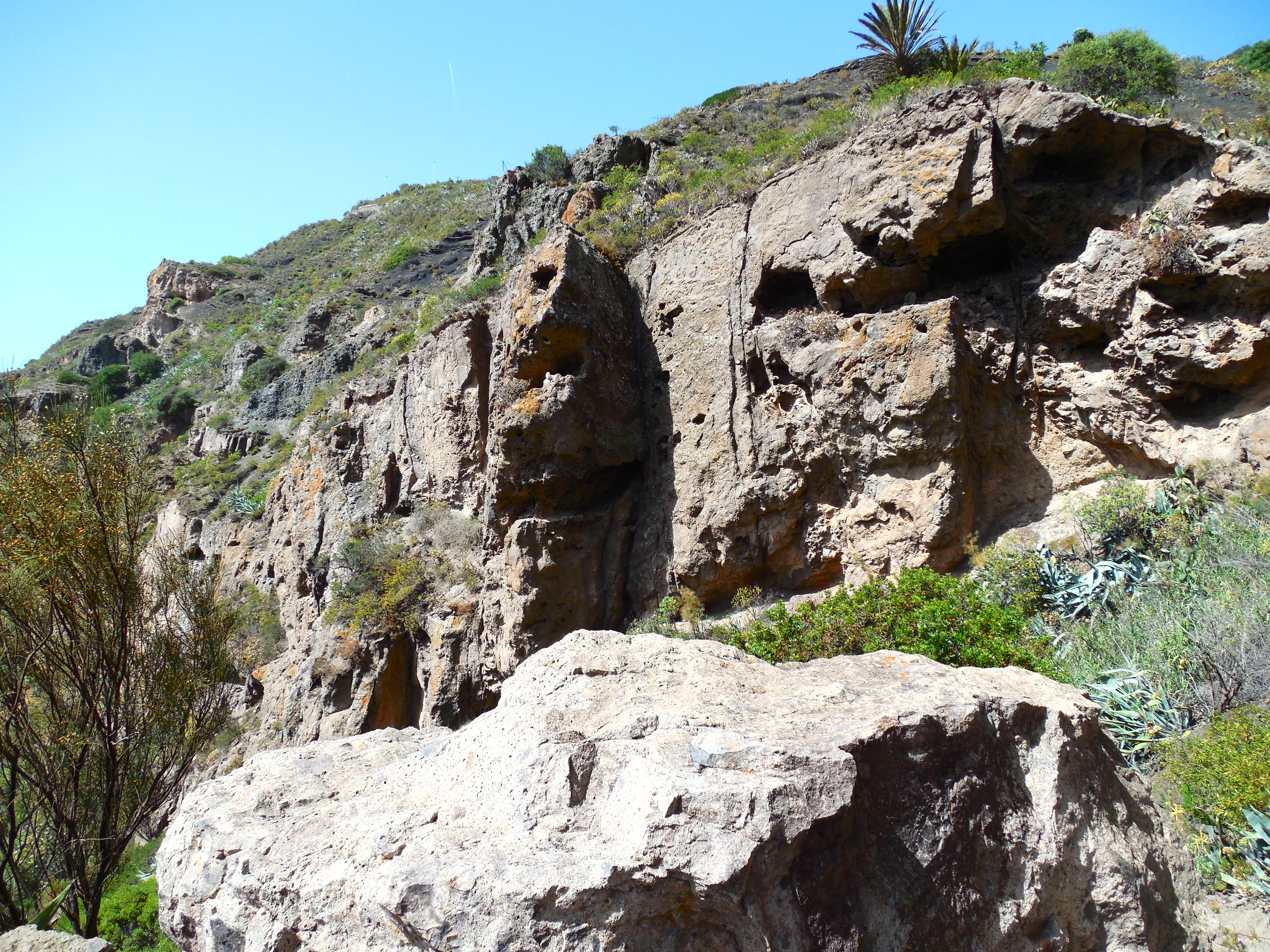
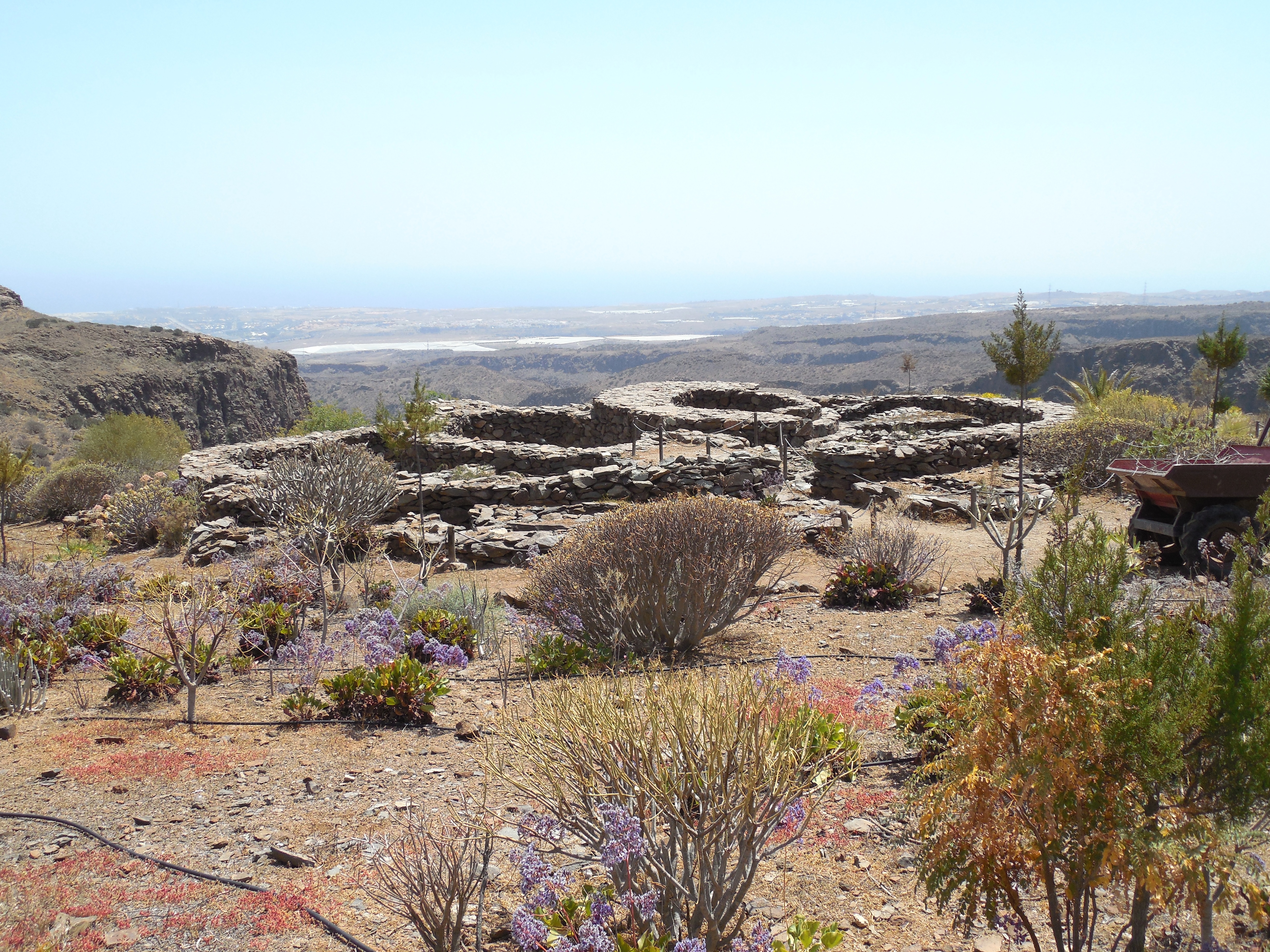
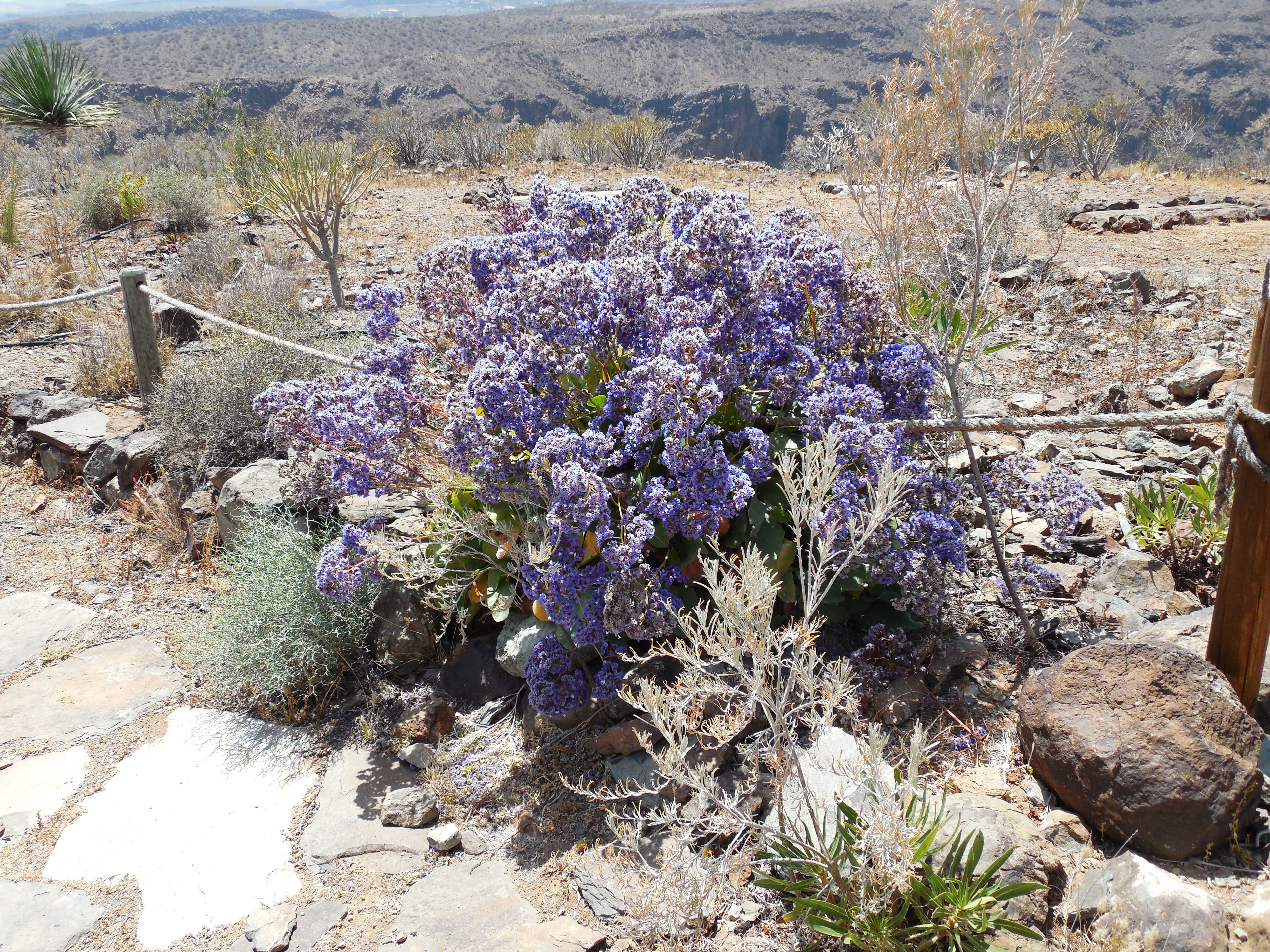
The landscape was gorgeous and well worth the time and effort.

We spent some time resting and wandering around the basin and then headed back up. This was a lot slower process.
The trail was pretty steep and we had to stop about every 20 – 30 meters up to catch our breath and let the hearts settle to a normal speed.


Eventually we made it back to the top, Yea!
Another hike completed and another area explored, but still so many more to do.